Login

Login oublié ?

Cookies have to be accepted!
Your browser's cookie functionality is disabled. Please enable this functionality.

Not a member yet?

Register now
Login

Available for registred users only

Log in to use this feature.

Login oublié ?

Cookies have to be accepted!
Your browser's cookie functionality is disabled. Please enable this functionality.

Not a member yet?

Register now
Filter
Catégories
Advanced filters
  • Longueur (km)
  • Altimètre
Enregistrer le filtre Reset filter

TrackRank

QRCode

Technical data

Longueur48,7 km Altimètre1065 m Way down1053 m Durée04:00 h:m Date18.11.2001
Evaluations Author Paysage Aspect amusement Condition Technique

Statistiques

10852 Vues 1 Evaluation 862 Téléchargements 3.00 Moyenne
Rate
  • Feuille de tours
  • Arrivée
  • Téléchargements
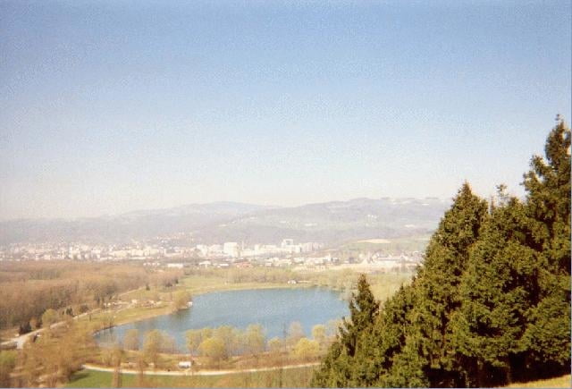
Eine wunderschöne Tour von Urfahr auf den Pfenningberg, Richtung Steyregg, nach Gallneukirchen, durch das Mirellental nach Oberbairing. Von dort den klassischen 160 Wanderweg wieder nach Linz zurück schrammen.


Galerie du tour

Carte du tour et altitude

  • Open Street Map
  • Google
Minimum height 244 m Maximum height 647 m Vue de détail

More about the tour author

ingo
Member since 2001

Send private message

Commentaires

Urfahr Markt Gelände am Infostand in Linz

Tracks GPS

Trackpoints
  • GPX / Garmin Map Source (gpx) download
  • TCX / Garmin Training Center® (tcx) download
  • CRS / Garmin Training Center® (crs) download
  • Google Earth (kml) download
  • G7ToWin (g7t) download
  • TTQV (trk) download
  • Overlay (ovl) download
  • Fugawi (txt) download
  • Kompass (DAV) Track (tk) download
  • Feuille de tours (pdf) download
  • Original file of the author (g7t) download

More about the tour author

ingo
Member since 2001

Send private message
Share track
Add to my favorites
Remove from my favorites
Edit tags
My score
Rate
Tour: Linz-Mirellentalrunde
Cat.: Mountainbike
Longueur: 48,7 km
Evaluated on:
Durée:
Day(s)
Hour(s)
Minute(s)
Evaluation: Paysage Aspect amusement Condition Technique