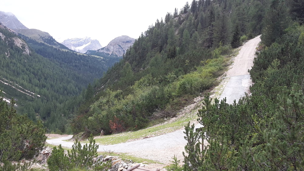
Rundtour im Fanes-Sennes Nationalpark. Sehr schwere MTB-Tour mit sehr steilen Auffahrten und steilen Abfahrten zum Teil in losem Schotter.
Rundtour mit Abstecher zur Seekofelhütte, und Schiebepassage zur Senneshütte
Galerie du tour
Carte du tour et altitude
Minimum height 1403 m
Maximum height 2342 m
Commentaires

Tracks GPS
Trackpoints-
GPX / Garmin Map Source (gpx) download
-
TCX / Garmin Training Center® (tcx) download
-
CRS / Garmin Training Center® (crs) download
-
Google Earth (kml) download
-
G7ToWin (g7t) download
-
TTQV (trk) download
-
Overlay (ovl) download
-
Fugawi (txt) download
-
Kompass (DAV) Track (tk) download
-
Feuille de tours (pdf) download
-
Original file of the author (gpx) download
Add to my favorites
Remove from my favorites
Edit tags
Open track
My score
Rate


