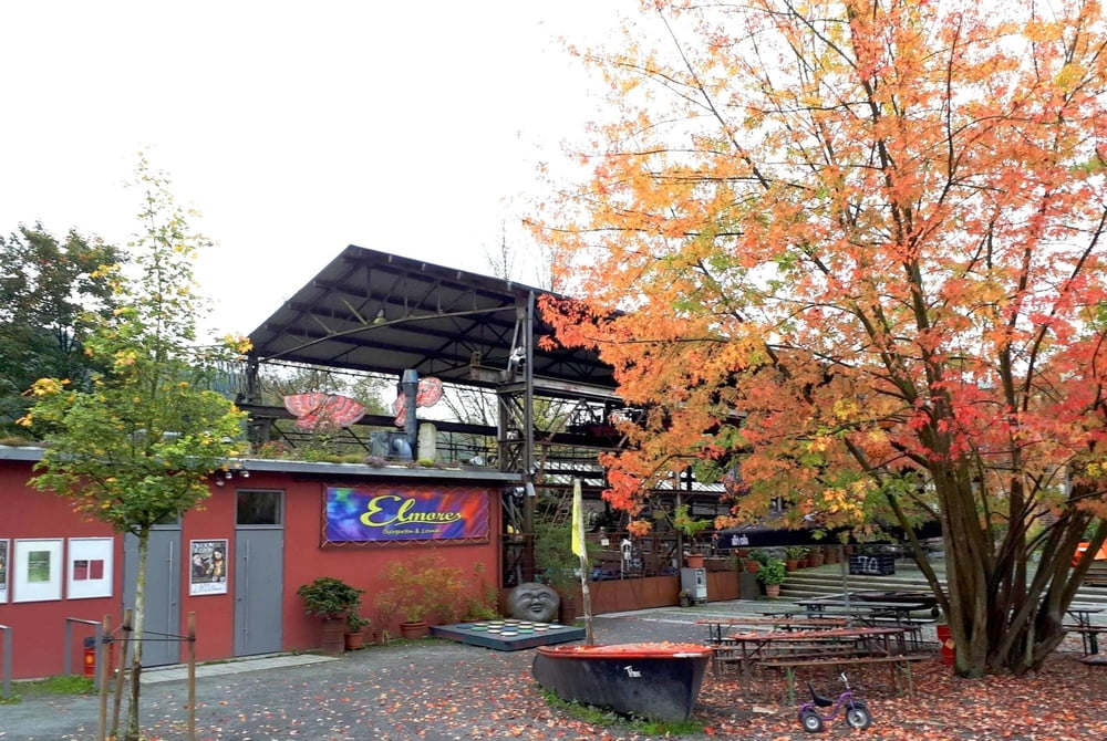
Vom Bahnhof Schladern geht es über das Kulturzentrum Kabelmetal weiter vorbei am ehemaligen Seniorenheim St. Antonius (Villa von 1903) mit herrlichem Park) nach Dattenfeld und Dreisel und über Burg Mauel zurück.
Further information at
https://naturregion-sieg.de/wandern/erlebniswege-sieg/index.htmlGalerie du tour
Carte du tour et altitude
Minimum height 156 m
Maximum height 227 m
Commentaires

mit öffentlichen Verkehrsmitteln zum Bahnhof Schladern an der Sieg
Tracks GPS
Trackpoints-
GPX / Garmin Map Source (gpx) download
-
TCX / Garmin Training Center® (tcx) download
-
CRS / Garmin Training Center® (crs) download
-
Google Earth (kml) download
-
G7ToWin (g7t) download
-
TTQV (trk) download
-
Overlay (ovl) download
-
Fugawi (txt) download
-
Kompass (DAV) Track (tk) download
-
Feuille de tours (pdf) download
-
Original file of the author (gpx) download
Add to my favorites
Remove from my favorites
Edit tags
Open track
My score
Rate


