


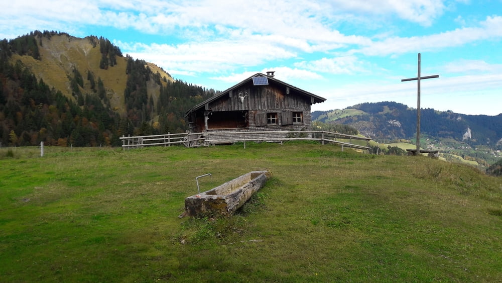
Anreise mit dem Linienbus bis Ebnit. Wanderung durch das Bärental entlang der Ebniter Ache bis zur Valorsalpe (ca. 1,5h), weiter auf den Grat. Von hier lohnt ein Abstecher aufs Hörndle (letzter Teil leicht ausgesetzt). Man geht zurück zur Schwammalpe und dann den Weg bis Viktorsberg. Der erste Teil des Abstieges ist eher sumpfig, daher braucht man etwas Zeit. Von Viktorsberg führt der Linienbus zurück ins Rheintal.
Galerie du tour


Carte du tour et altitude
Minimum height 837 m
Maximum height 1533 m
More about the tour author

|
GeroldBrigitte |
Commentaires

Tracks GPS
Trackpoints-
GPX / Garmin Map Source (gpx) download
-
TCX / Garmin Training Center® (tcx) download
-
CRS / Garmin Training Center® (crs) download
-
Google Earth (kml) download
-
G7ToWin (g7t) download
-
TTQV (trk) download
-
Overlay (ovl) download
-
Fugawi (txt) download
-
Kompass (DAV) Track (tk) download
-
Feuille de tours (pdf) download
-
Original file of the author (gpx) download
More about the tour author
|
|
GeroldBrigitte |
Add to my favorites
Remove from my favorites
Edit tags
Open track
My score
Rate