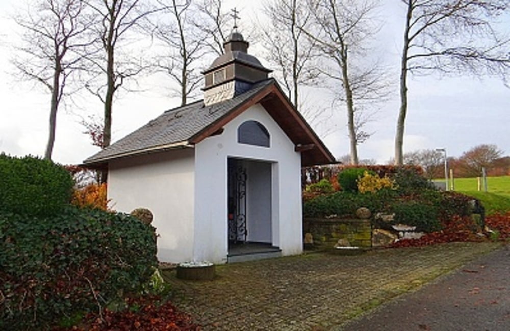
 Wir beginnen unseren Rundgang am 1990 eingerichteten Dorfplatz, zu dem auch ein kleiner Spielplatz gehört. Normalerweise ist es hier ruhig. Doch wenn die Steckenborner ein Fest feiern, dann wird die ganze Fläche zum wahren Mittelpunkt des Ortes. Auf der Tour begegnen uns tolle Aus-und Fernsichten auch auf den Rursee. Eine umfangreiche Wegbeschreibung zu dieser Tour entnehmen Sie bitte dem beigefügten Flyer.
Flyer zur Tour: Download
weitere Dorfrundgänge hier: der-eifelyeti
Further information at
http://der-eifelyeti.de/2017/02/20/steckenborn/Carte du tour et altitude
Minimum height 411 m
Maximum height 515 m
Commentaires

Tracks GPS
Trackpoints-
GPX / Garmin Map Source (gpx) download
-
TCX / Garmin Training Center® (tcx) download
-
CRS / Garmin Training Center® (crs) download
-
Google Earth (kml) download
-
G7ToWin (g7t) download
-
TTQV (trk) download
-
Overlay (ovl) download
-
Fugawi (txt) download
-
Kompass (DAV) Track (tk) download
-
Feuille de tours (pdf) download
-
Original file of the author (gpx) download
Add to my favorites
Remove from my favorites
Edit tags
Open track
My score
Rate

