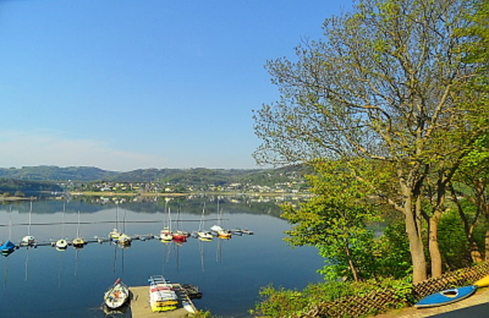
 Rursee-Wanderung mit Bootstour
Die Rurseeschiffe fahren stündlich. Demzufolge lediglich Wanderweg von rd. 10 km. Diese Strecke kann natürlich auch in Gegenrichtung (Schmidt-Woffelsbach bzw. Woffelsbach-Schmidt) bewandert werden. Eine durchgehende Beschilderung durch öffentliche Weg-kennzeichen ist nicht mehr gegeben, Die Wege sind jedoch weiterhin bewanderbar. Es ist hilfreich eine Wanderkarte (Rureifel Nr 2) mitzunehmen.
Weitere Touren: Nideggen-Schmidt
Further information at
http://der-eifelyeti.de/2017/02/27/schmidt-woffelsbach-zurueck-mit-schiff/Carte du tour et altitude
Minimum height 269 m
Maximum height 483 m
Commentaires

Tracks GPS
Trackpoints-
GPX / Garmin Map Source (gpx) download
-
TCX / Garmin Training Center® (tcx) download
-
CRS / Garmin Training Center® (crs) download
-
Google Earth (kml) download
-
G7ToWin (g7t) download
-
TTQV (trk) download
-
Overlay (ovl) download
-
Fugawi (txt) download
-
Kompass (DAV) Track (tk) download
-
Feuille de tours (pdf) download
-
Original file of the author (gpx) download
Add to my favorites
Remove from my favorites
Edit tags
Open track
My score
Rate

