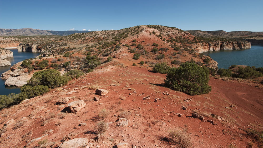
Diese einfach zu laufende, einsame Wanderung, auf der Sie kaum einen Menschen treffen werden, liegt im nördlichen Bereich des Bighorn Canyon Erholungsgebietes, der sich in Montana befindet. Die Wanderung beginnt beim Parkplatz Barry's Landing und geht immer am Bighorn Lake entlang, dem Stausee des Bighorn Rivers. Man läuft zunächst am See entlang, muss um einen Seitenarm herum, und gelangt schliesslich auf die Halbinsel Barry's Island, die man einmal umrundet, und kehrt dann wieder zurück. Diese Tour ist nicht oberspektakulär, aber das klare Wasser, im dem sich einige Fischschwärme tummeln, die bunten Canyonwände und die typische karge Vegetation dieser Landschaft machen diese Wanderung durchaus erlebenswert.
Galerie du tour
Carte du tour et altitude
Minimum height 1109 m
Maximum height 1178 m
Commentaires

Man fährt von Süden, von Wyoming kommend, die asphaltierte Parkstrasse der "Bighorn Canyon National Recreation Area" nach Norden über die Grenze Montanas hinaus bis zum Parkplatz Barry's Landing, wo diese Wanderung beginnt. Auf dem Strassenabschnitt bis hier sieht man häufig Bighorn Schafe und Wildpferde.
Tracks GPS
Trackpoints-
GPX / Garmin Map Source (gpx) download
-
TCX / Garmin Training Center® (tcx) download
-
CRS / Garmin Training Center® (crs) download
-
Google Earth (kml) download
-
G7ToWin (g7t) download
-
TTQV (trk) download
-
Overlay (ovl) download
-
Fugawi (txt) download
-
Kompass (DAV) Track (tk) download
-
Feuille de tours (pdf) download
-
Original file of the author (gpx) download
Add to my favorites
Remove from my favorites
Edit tags
Open track
My score
Rate


