Login

Login oublié ?

Cookies have to be accepted!
Your browser's cookie functionality is disabled. Please enable this functionality.

Not a member yet?

Register now
Login

Available for registred users only

Log in to use this feature.

Login oublié ?

Cookies have to be accepted!
Your browser's cookie functionality is disabled. Please enable this functionality.

Not a member yet?

Register now
Filter
Catégories
Advanced filters
  • Longueur (km)
  • Altimètre
Enregistrer le filtre Reset filter

TrackRank

QRCode

Technical data

Longueur8,2 km Altimètre398 m Way down448 m Durée04:00 h:m Date09.02.2018
Evaluations Author Paysage Aspect amusement Condition Technique

Statistiques

488 Vues Evaluations 74 Téléchargements Moyenne
Rate
  • Feuille de tours
  • Arrivée
  • Téléchargements
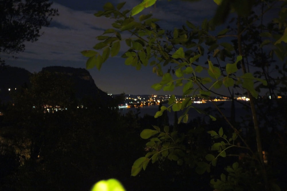
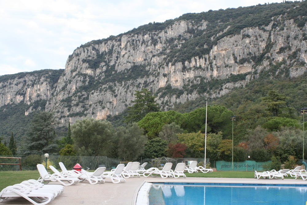
Sehr schöne Wanderroute vom Parco del Garda, erst steiler Aufstieg, dann sehr schöne ausicht auf den Gardasee und Rückwanderung bei den steinzeitlichen Zeichnungen (Grafitty).

Galerie du tour

Carte du tour et altitude

  • Open Street Map
  • Google
Minimum height 104 m Maximum height 444 m Vue de détail

More about the tour author

Daxtuning
Member since 2018

Send private message

Commentaires

Parken am besten im Wohnpark "Parco del Garda"

Tracks GPS

Trackpoints
  • GPX / Garmin Map Source (gpx) download
  • TCX / Garmin Training Center® (tcx) download
  • CRS / Garmin Training Center® (crs) download
  • Google Earth (kml) download
  • G7ToWin (g7t) download
  • TTQV (trk) download
  • Overlay (ovl) download
  • Fugawi (txt) download
  • Kompass (DAV) Track (tk) download
  • Feuille de tours (pdf) download
  • Original file of the author (gpx) download

More about the tour author

Daxtuning
Member since 2018

Send private message
Share track
Add to my favorites
Remove from my favorites
Edit tags
My score
Rate
Tour: Monte Are Wandertour
Cat.: Randonnées
Longueur: 8,2 km
Evaluated on:
Durée:
Day(s)
Hour(s)
Minute(s)
Evaluation: Paysage Aspect amusement Condition Technique