
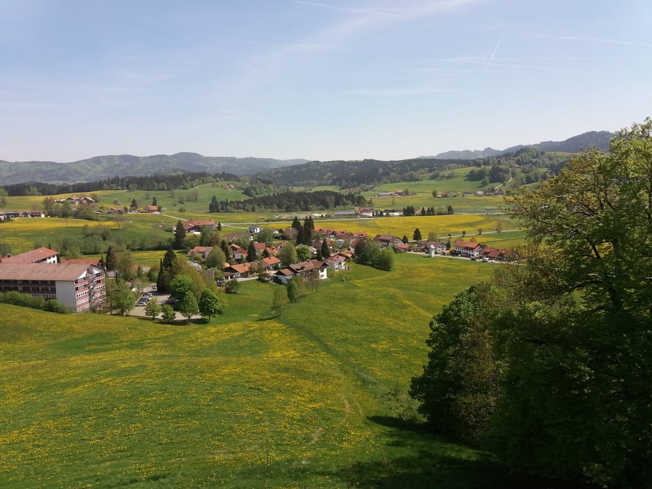

Landschaftlich schöne Allgäurunde mit vielen Variationsmöglichkeiten.
Bis auf ein paar einzelne Schwierigkeiten (nur kurz über den Zaun hiefen oder so) sehr leichte Streckenwahl. Viele Waldwege und Asphalt und nur kurze Trailpassagen.
Auch mal eine kleine Brücke zum Balancieren ist dabei.
Gute alternative Einkehrmöglichkeiten, wenn---Achtung, Saisonbetrieb--- die Butterblume geschlossen ist!
Wir waren in Riedholz im Adler, sehr gut!
Idylische Plätze zum rasten an der Strecke zahlreich vorhanden.
Galerie du tour


Carte du tour et altitude
Minimum height 583 m
Maximum height 946 m
More about the tour author
|
|
urgesimi |
Commentaires

Tracks GPS
Trackpoints-
GPX / Garmin Map Source (gpx) download
-
TCX / Garmin Training Center® (tcx) download
-
CRS / Garmin Training Center® (crs) download
-
Google Earth (kml) download
-
G7ToWin (g7t) download
-
TTQV (trk) download
-
Overlay (ovl) download
-
Fugawi (txt) download
-
Kompass (DAV) Track (tk) download
-
Feuille de tours (pdf) download
-
Original file of the author (gpx) download
More about the tour author
|
|
urgesimi |
Add to my favorites
Remove from my favorites
Edit tags
Open track
My score
Rate