
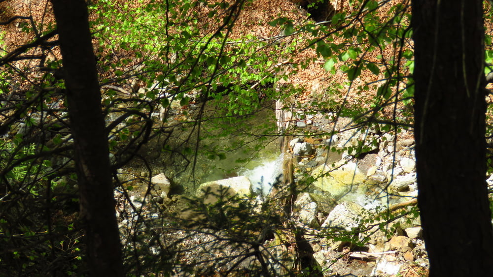

Iz Hrušice dokaj strm vzpon (po gozdni cesti?) nad sotesko Dobršnika. Sliši se precej slapov, vidi pa skoraj nobenega. Nedostopno! Do Rogarjevega rovta strmo, potem do Rožce malo manj. Spust mimo Jeseniške planine po makadamskih in gozdnih cestah, ki so mestoma precej blatne. Narcise na Plavškem rovtu. Spust do Hrušice ponekod precej blaten,,,
Od Hrušice do Rogarjevega rovta je pot lepo ozačena (smerokazi, rumene pike na drevesih), naprej pa ne več - držati se je treba glavne poti. Dol grede je precej pod Jeseniško planino odcep za Plavški rovt, naprej pa ni označeno. Hodil sem po pripravljeni GPS sledi z nekaj variantami. Samotno.
Galerie du tour


Carte du tour et altitude
Minimum height 625 m
Maximum height 1584 m
More about the tour author

|
sandibor |
Commentaires

Parkiral sem pri vrtcu/otroškem igrišču/krajevni skupnosti v Hrušici. Označeni odcepi za vrtec!
Tracks GPS
Trackpoints-
GPX / Garmin Map Source (gpx) download
-
TCX / Garmin Training Center® (tcx) download
-
CRS / Garmin Training Center® (crs) download
-
Google Earth (kml) download
-
G7ToWin (g7t) download
-
TTQV (trk) download
-
Overlay (ovl) download
-
Fugawi (txt) download
-
Kompass (DAV) Track (tk) download
-
Feuille de tours (pdf) download
-
Original file of the author (gpx) download
More about the tour author
|
|
sandibor |
Add to my favorites
Remove from my favorites
Edit tags
Open track
My score
Rate