Login

Login oublié ?

Cookies have to be accepted!
Your browser's cookie functionality is disabled. Please enable this functionality.

Not a member yet?

Register now
Login

Available for registred users only

Log in to use this feature.

Login oublié ?

Cookies have to be accepted!
Your browser's cookie functionality is disabled. Please enable this functionality.

Not a member yet?

Register now
Filter
Catégories
Advanced filters
  • Longueur (km)
  • Altimètre
Enregistrer le filtre Reset filter

TrackRank

QRCode

Technical data

Longueur31,9 km Altimètre598 m Way down886 m Durée03:00 h:m Date01.05.2018
Evaluations Author Paysage Aspect amusement Condition Technique

Statistiques

182 Vues Evaluations 16 Téléchargements Moyenne
Rate
  • Feuille de tours
  • Arrivée
  • Téléchargements
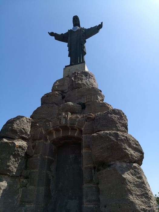
Von Pizarra bergauf zum Santo, dann einen Singletrail bergab nach Pizarra, die Runde weiter bis Alora, auch da gibt es einen Singletrail. Über Straße zurück nacgh Pizarra.

Carte du tour et altitude

  • Open Street Map
  • Google
Minimum height 80 m Maximum height 501 m Vue de détail

More about the tour author

bernd_brinck
Member since 2011

Send private message

Commentaires

Tracks GPS

Trackpoints
  • GPX / Garmin Map Source (gpx) download
  • TCX / Garmin Training Center® (tcx) download
  • CRS / Garmin Training Center® (crs) download
  • Google Earth (kml) download
  • G7ToWin (g7t) download
  • TTQV (trk) download
  • Overlay (ovl) download
  • Fugawi (txt) download
  • Kompass (DAV) Track (tk) download
  • Feuille de tours (pdf) download
  • Original file of the author (gpx) download

More about the tour author

bernd_brinck
Member since 2011

Send private message
Share track
Add to my favorites
Remove from my favorites
Edit tags
My score
Rate
Tour: Pizarra-Alora-Runde
Cat.: Mountainbike
Longueur: 31,9 km
Evaluated on:
Durée:
Day(s)
Hour(s)
Minute(s)
Evaluation: Paysage Aspect amusement Condition Technique