


Diesmal geht meine Tour nach Braunschweig.
Start ist in Wolfsburg das VW Bad,
weiter geht es an denn drei Steinen vorbei durch den Stadtwald.
Richtung Hattorf
Beienroder Holz
Essehof
durch den Dibbesdorfer Holz nach Dibbesdorf
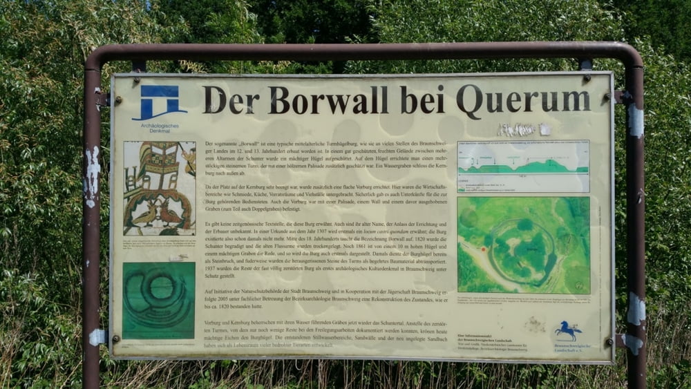
hier geht es dann zum Ziel dieser Tour Der Borwall.
Danach fahren wir wieder zurück nach Dibbesdorf
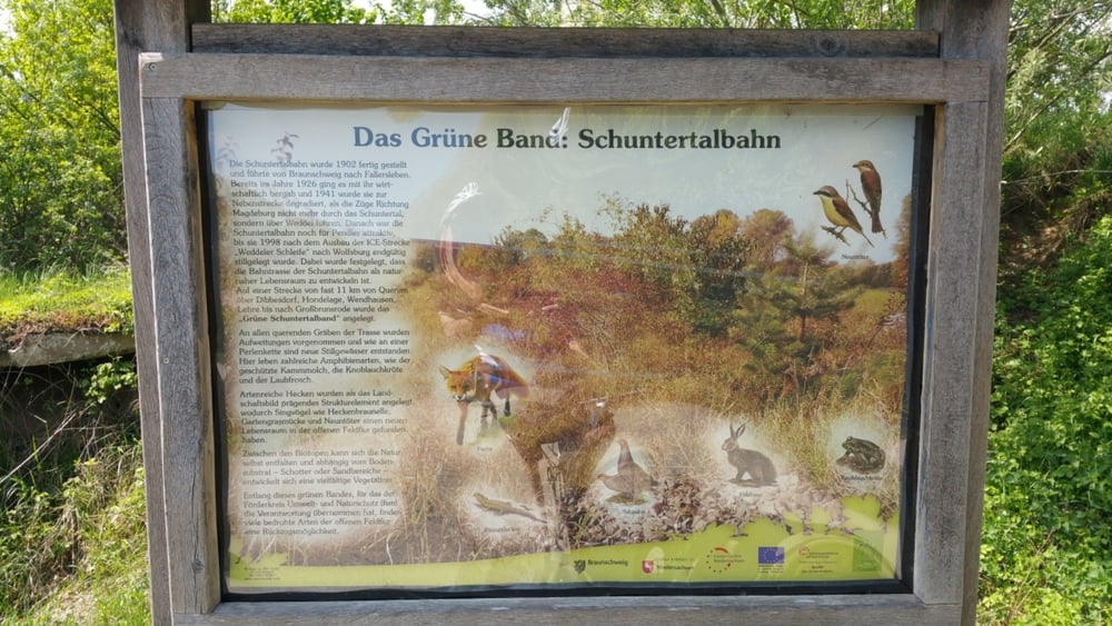
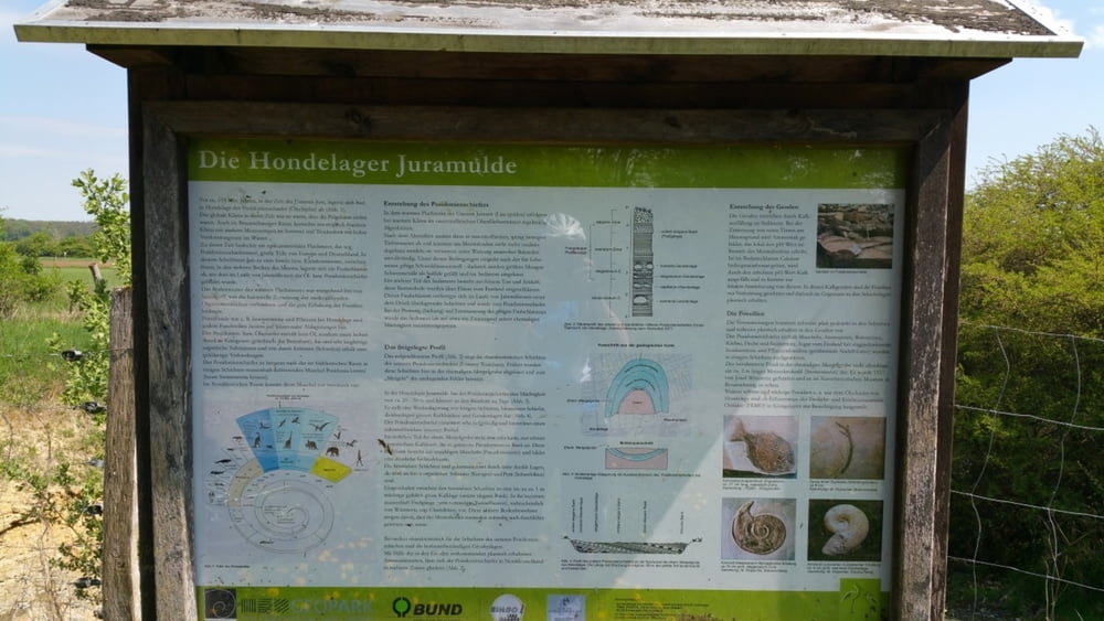
und fahren diesmal Richtung Hondelage, danach gehts es zur Hondelager Juramulde
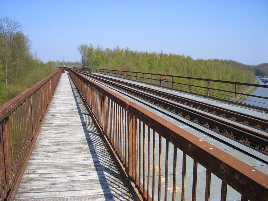
weiter zum Mittellandkanal über die Brücke
auf der anderen Seite runter fahren, und auf dieser Kanalseite bis nach Wolfsburg zurückfahren.
Diese Tour habe ich auf meiner Homepage mit reichlich Fotos beschrieben
http://www.wolfsburg-gps-tour.de
viel Spaß beim nachfahren
Further information at
http://www.wolfsburg-gps-tour.deGalerie du tour
Carte du tour et altitude
Minimum height 56 m
Maximum height 129 m
More about the tour author
|
|
KlausWob |
Commentaires

Diese Tour und weitere
befinden sich beschrieben auf
meiner Homepage unter
Meine MTB Touren
unter
http://www.wolfsburg-gps-tour.de
viel spaß beim nachfahren
von Klaus
Tracks GPS
Trackpoints-
GPX / Garmin Map Source (gpx) download
-
TCX / Garmin Training Center® (tcx) download
-
CRS / Garmin Training Center® (crs) download
-
Google Earth (kml) download
-
G7ToWin (g7t) download
-
TTQV (trk) download
-
Overlay (ovl) download
-
Fugawi (txt) download
-
Kompass (DAV) Track (tk) download
-
Feuille de tours (pdf) download
-
Original file of the author (gpx) download
More about the tour author
|
|
KlausWob |
Add to my favorites
Remove from my favorites
Edit tags
Open track
My score
Rate