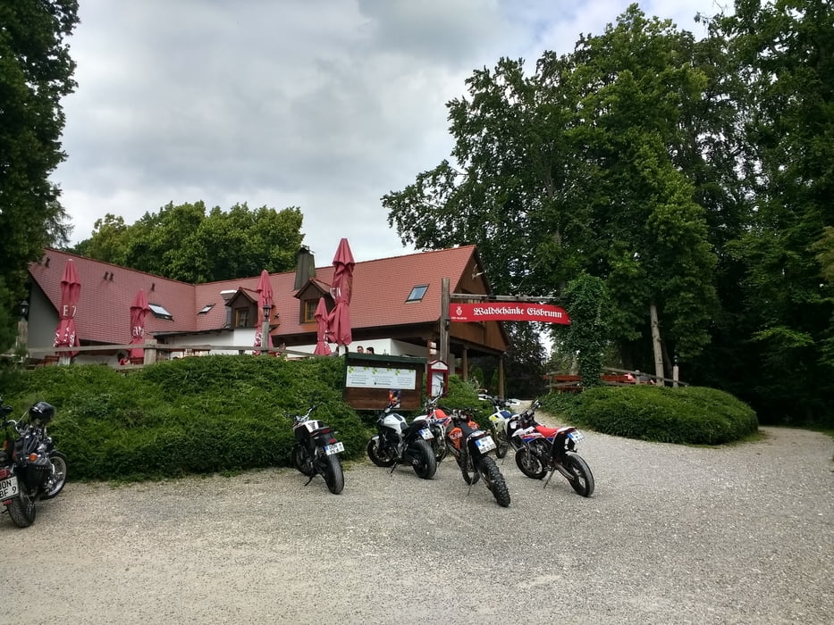
Auf Feld und Waldwegen von Donauwörth Promanade zur Waldschenke Eisbrunn. Zurück über Stadtmitte von Harburg über Seinerne Brücke zurück nach Donauwörth.
Einkehrmöglichkeiten:
Waldschenke Eisbrunn; Gastronomie an Seinerner Brücke, in Donauwörth Gastronomie Insel Ried
Bis auf einen kleinen einfachen Single Trail keine Highlights für eingfleischte MTB Fahrer. Die Strecke geht rauf und runter so dass einige Höhenmeter zusammenkommen.
https://www.stadt-harburg-schwaben.de/index.php?id=649,123
https://www.eisbrunn-harburg.de/home.html
Galerie du tour
Carte du tour et altitude
Minimum height 386 m
Maximum height 572 m
Commentaires

Die Tour beginnt am südlichen Ortseingang
Tracks GPS
Trackpoints-
GPX / Garmin Map Source (gpx) download
-
TCX / Garmin Training Center® (tcx) download
-
CRS / Garmin Training Center® (crs) download
-
Google Earth (kml) download
-
G7ToWin (g7t) download
-
TTQV (trk) download
-
Overlay (ovl) download
-
Fugawi (txt) download
-
Kompass (DAV) Track (tk) download
-
Feuille de tours (pdf) download
-
Original file of the author (gpx) download
Add to my favorites
Remove from my favorites
Edit tags
Open track
My score
Rate


