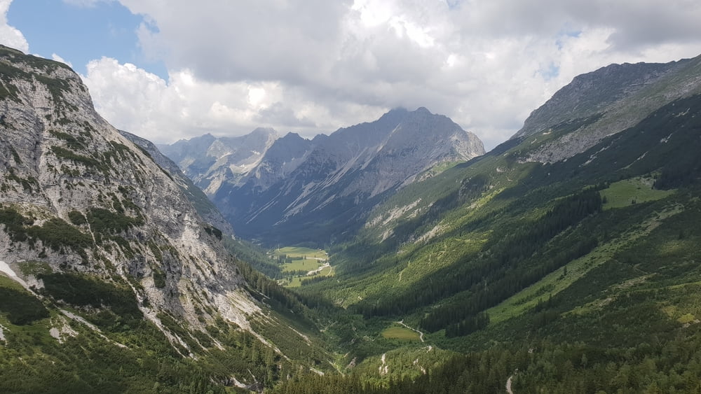
Vom Startpunkt an der Karwendelbahn in Mittenwald, geht es zuerst mehr oder weniger flach nach Scharnitz. Dort biegt man in Richtung Isarurspung ab. Aber anstatt zum Isarurspung zu fahren, folgt man recht bald, nach links abbiegend, einem steilen Asphalanstieg in Richtung Karwendelhaus. Dem Karwendelbach folgend, fährt man bis zur Wegkreuzung vor dem Karwendelhaus. Möchte man einkehren, biegt man nach rechts zum Karwendelhaus ab, ansonsten folgt man dem Weg nach links abwärts zum kleinen Ahornboden und von dort weiter abwärts nach Hinterriß. Kurz hinter Hinterriß fährt man bergauf in die Vordersbachau. Nach einer Abfahrt folgt eine Bachquerung und dann die Auffahrt zur Fereinalm. Von der Alm geht es dann abwärts zurück nach Mittenwald.
Galerie du tour
Carte du tour et altitude
Minimum height 918 m
Maximum height 1768 m
Commentaires

Von München über die A95 nach Garmisch-Partenkirchen und dann weiter zur Talstation der Karwendelbahn in Mittenwald
Tracks GPS
Trackpoints-
GPX / Garmin Map Source (gpx) download
-
TCX / Garmin Training Center® (tcx) download
-
CRS / Garmin Training Center® (crs) download
-
Google Earth (kml) download
-
G7ToWin (g7t) download
-
TTQV (trk) download
-
Overlay (ovl) download
-
Fugawi (txt) download
-
Kompass (DAV) Track (tk) download
-
Feuille de tours (pdf) download
-
Original file of the author (tcx) download
Add to my favorites
Remove from my favorites
Edit tags
Open track
My score
Rate


