

Track mit Anfahrtsweg von der Quelle in Billerbeck bis nach Gescher (Tag 1). Tour wurde für das Rennrad leicht geändert
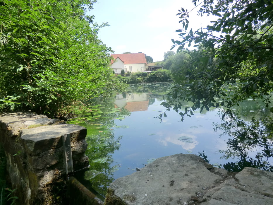
Galerie du tour


Carte du tour et altitude
Minimum height 34 m
Maximum height 157 m
More about the tour author
|
|
bikeman-c |
Commentaires

Tracks GPS
Trackpoints-
GPX / Garmin Map Source (gpx) download
-
TCX / Garmin Training Center® (tcx) download
-
CRS / Garmin Training Center® (crs) download
-
Google Earth (kml) download
-
G7ToWin (g7t) download
-
TTQV (trk) download
-
Overlay (ovl) download
-
Fugawi (txt) download
-
Kompass (DAV) Track (tk) download
-
Feuille de tours (pdf) download
-
Original file of the author (gpx) download
More about the tour author
|
|
bikeman-c |
Add to my favorites
Remove from my favorites
Edit tags
Open track
My score
Rate