Login

Login oublié ?

Cookies have to be accepted!
Your browser's cookie functionality is disabled. Please enable this functionality.

Not a member yet?

Register now
Login

Available for registred users only

Log in to use this feature.

Login oublié ?

Cookies have to be accepted!
Your browser's cookie functionality is disabled. Please enable this functionality.

Not a member yet?

Register now
Filter
Catégories
Advanced filters
  • Longueur (km)
  • Altimètre
Enregistrer le filtre Reset filter

TrackRank

QRCode

Technical data

Longueur33,7 km Altimètre791 m Way down786 m Durée03:00 h:m Date21.07.2018
Evaluations Author Paysage Aspect amusement Condition Technique

Statistiques

788 Vues Evaluations 116 Téléchargements Moyenne
Rate
  • Feuille de tours
  • Arrivée
  • Téléchargements

Start der Tour ist am Weißensee in Naggl.

Über die Straße und Radweg geht es entlang dem See auf den Kreuzberg.

Vom Kreuzberg gelangt man über die alte Kreuzbergstraße nach Weißbriach.

Ab Weißbriach entlang der Gössering durch den Gösseringgraben Richtung Waisacher Alm.

Von der Waisacher Alm zurück zum Kreuzberg und nach Naggl.

Further information at
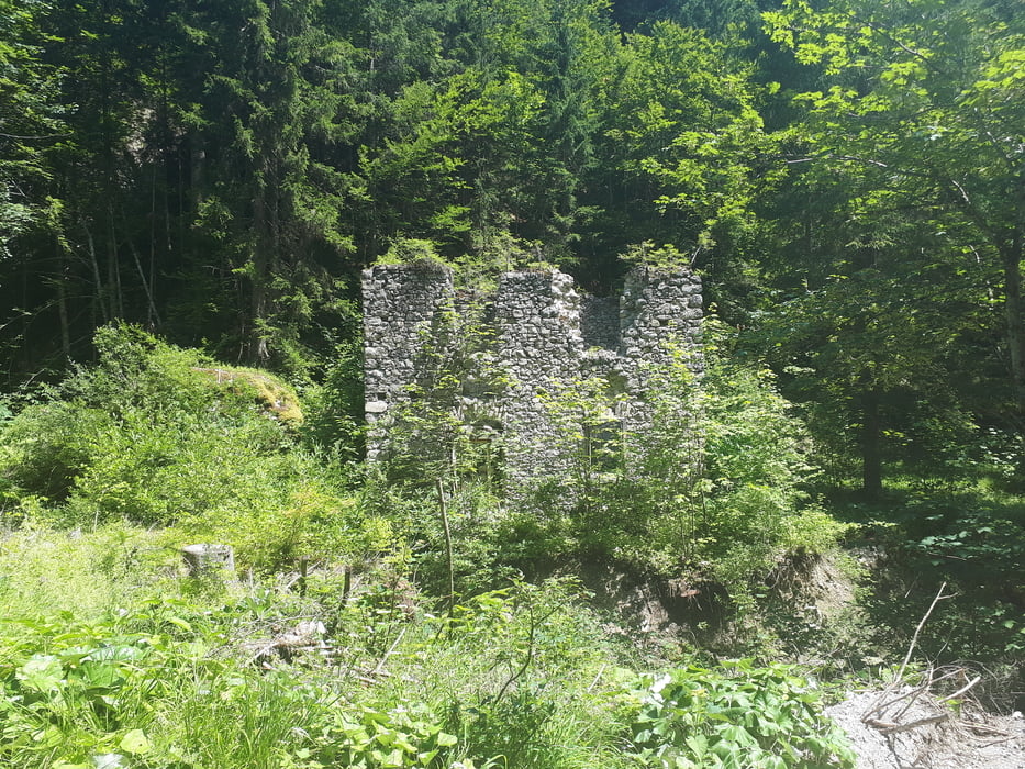
https://www.weissensee.com/

Galerie du tour

Carte du tour et altitude

  • Open Street Map
  • Google
Minimum height 809 m Maximum height 1354 m Vue de détail

More about the tour author

kersti
Member since 2012

Send private message

Commentaires

Gebührenpflichtige Parkplätze in Naggl

Tracks GPS

Trackpoints
  • GPX / Garmin Map Source (gpx) download
  • TCX / Garmin Training Center® (tcx) download
  • CRS / Garmin Training Center® (crs) download
  • Google Earth (kml) download
  • G7ToWin (g7t) download
  • TTQV (trk) download
  • Overlay (ovl) download
  • Fugawi (txt) download
  • Kompass (DAV) Track (tk) download
  • Feuille de tours (pdf) download
  • Original file of the author (gpx) download

More about the tour author

kersti
Member since 2012

Send private message
Share track
Add to my favorites
Remove from my favorites
Edit tags
My score
Rate
Tour: Weißensee - Waisacher Alm
Cat.: Mountainbike
Longueur: 33,7 km
Evaluated on:
Durée:
Day(s)
Hour(s)
Minute(s)
Evaluation: Paysage Aspect amusement Condition Technique