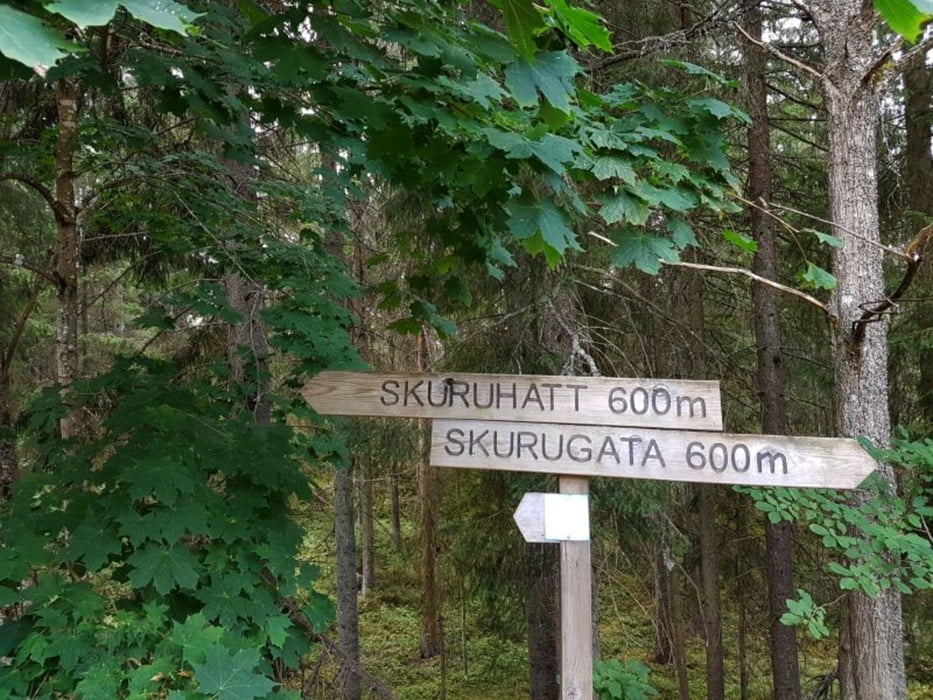
Wanderung Skurugata und Skuruhätt
2 km - 2h
Die Anfahrt war für uns spektakulär. Von Norden (von Tranås) über E551 (Olstrop), die 134, dann E526, E527, F1034 und F1030
Kleine aber sehr anspruchsvolle Wanderung in die Schlucht und auf dem Aussichtspunkt mit sensationellen Ausblick auf Småland.
Die Runde ist gut ausgeschildert.
Leider ist hier schwedenuntypisch sehr viel Betrieb. Viele wollen das Naturschauspiel sehen und spüren (Temperaturunterschied).
Fazit:
- kurz und klein, aber sehr fein
- empfehlenswert
Further information at
https://de.wikipedia.org/wiki/SkurugataGalerie du tour
Carte du tour et altitude
Minimum height 279 m
Maximum height 328 m
Commentaires

Tracks GPS
Trackpoints-
GPX / Garmin Map Source (gpx) download
-
TCX / Garmin Training Center® (tcx) download
-
CRS / Garmin Training Center® (crs) download
-
Google Earth (kml) download
-
G7ToWin (g7t) download
-
TTQV (trk) download
-
Overlay (ovl) download
-
Fugawi (txt) download
-
Kompass (DAV) Track (tk) download
-
Feuille de tours (pdf) download
-
Original file of the author (gpx) download
Add to my favorites
Remove from my favorites
Edit tags
Open track
My score
Rate


