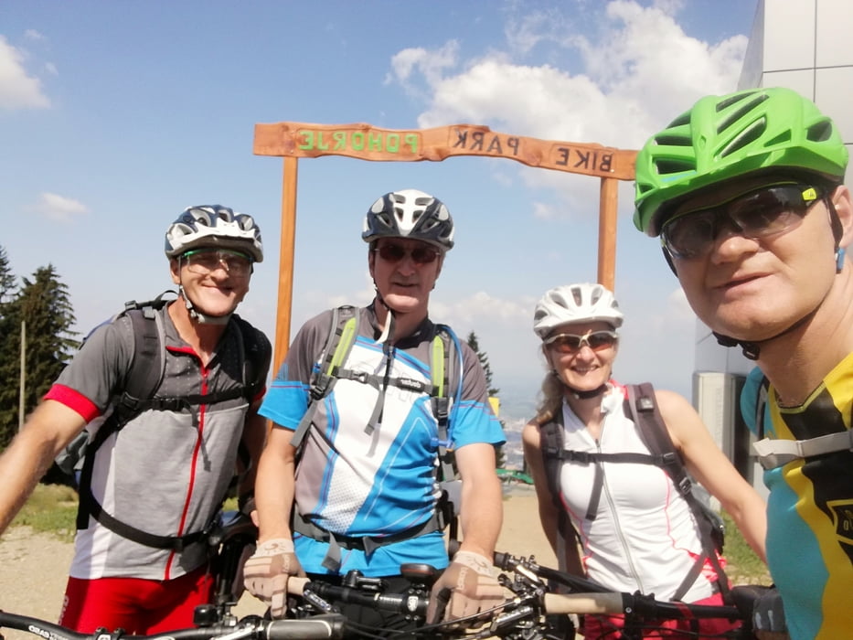
Von der Talstation Gondel Pohorje ging es über Schotterstrassen rauf zur Bergstation,danach über den Bergkam entlang,immer im Wald und Waldwegen und Schotterstarssen,ein Trail war auch dabei,zurück bis zur Bergstation auf teils gleichen Wegen.Zum Abschluss ging es dann den Flow Trail (blau.....Anfänger....was aber für Anfänger nicht zum Empfehlen ist) wieder zurück zur Talstation.
Galerie du tour
Carte du tour et altitude
Minimum height 325 m
Maximum height 1302 m
Commentaires

Tracks GPS
Trackpoints-
GPX / Garmin Map Source (gpx) download
-
TCX / Garmin Training Center® (tcx) download
-
CRS / Garmin Training Center® (crs) download
-
Google Earth (kml) download
-
G7ToWin (g7t) download
-
TTQV (trk) download
-
Overlay (ovl) download
-
Fugawi (txt) download
-
Kompass (DAV) Track (tk) download
-
Feuille de tours (pdf) download
-
Original file of the author (gpx) download
Add to my favorites
Remove from my favorites
Edit tags
Open track
My score
Rate


