Dies ist eine Tour im 250km grossen Reitwegenetz der AREF (Association pour le Réseau Equestre aux Franches-Montagnes - http://www.aref.ch. Vom 8.05. bis zum 21.05.2008 habe ich ca. 95% des Reitwegenetzes abgeritten. Die Touren sind um Irrwege und Rastplätze bereinigte Originalaufzeichnungen. Auf meiner Homepage http://www.wanderreiterweb.de/Tracks/Schweiz liegen 2 ZIP-Dateien mit (MapSource-)GPX-Dateien aller gerittenen Tracks sowie daraus erstellten Tracks des kompletten Originalreitwegenetzes.
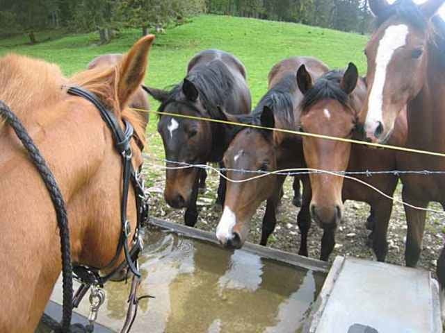
Das Besondere am AREF-Reitwegenetz ist die Tatsache, dass zum Großteil direkt über Weiden geritten wird. Begegnungen der besonderen Art mit Kühen, Pferden, Jungbullen, Eseln!! und anderen freilaufenden Tieren sind vorprogrammiert. Es existieren viele Tore, die vom Pferd aus geöffnet und geschlossen werden können. Eine große Anzahl von Gasthäusern, Restaurants haben sich speziell auf Reiter eingestellt und es existieren viele Pferdebetriebe mit Boxen und auch Mietpferden.
Da ich allein geritten bin, war ich nicht in der Lage Wegbeschreibungen aufzuzeichnen.
Further information at
http://www.wanderreiterweb.de/Tracks/SchweizGalerie du tour
Carte du tour et altitude
Commentaires

Tracks GPS
Trackpoints-
GPX / Garmin Map Source (gpx) download
-
TCX / Garmin Training Center® (tcx) download
-
CRS / Garmin Training Center® (crs) download
-
Google Earth (kml) download
-
G7ToWin (g7t) download
-
TTQV (trk) download
-
Overlay (ovl) download
-
Fugawi (txt) download
-
Kompass (DAV) Track (tk) download
-
Feuille de tours (pdf) download
-
Original file of the author (gpx) download


