

schöner und anspruchsvoller Downhill.
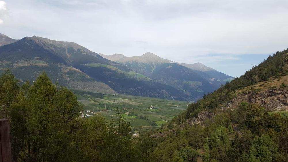
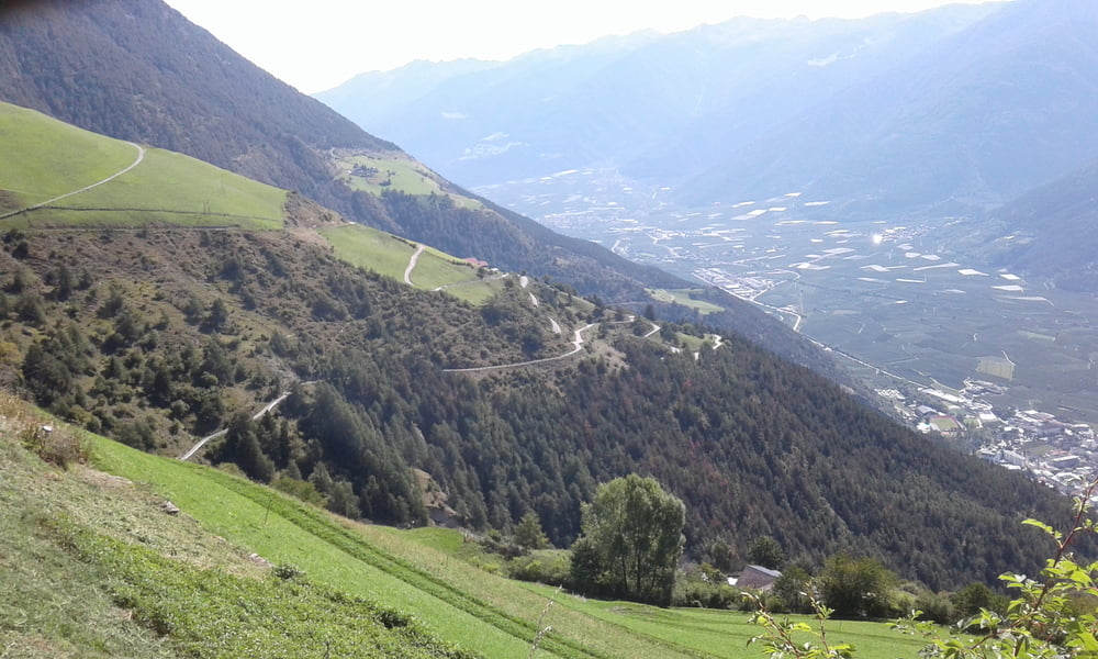
Vom Camping Badlerhof auf dem 19er Wanderweg nach Allitz. Rechts über die Brücke auf dem 15a nach Kortsch. Hier auf der Asphaltstrasse hoch bis zum Hof Waldenthal. Weiter auf dem 15a bis kurz vor Madratsch. Ab hier geht der 15b hinunter nach Schlanders (S1 - S2). Man kommt dann auf den 15er der teilweise ausgesetzt am Hang entlang geht. Auf einem Forstweg ca. 500 m rechts weiter auf dem 8er hinab richtung Kortsch. Hier steht ein Bikeverbotsschild, das aber meine ich, für den 6a gilt (Zaalwaal). Der Trail kommt auf dem Hinweg nach Kortsch raus. Zurück zum Camping über den gleichen Weg.
Galerie du tour

Carte du tour et altitude
Minimum height 819 m
Maximum height 1611 m
More about the tour author
|
|
Fruehaufsteher |
Commentaires

Tracks GPS
Trackpoints-
GPX / Garmin Map Source (gpx) download
-
TCX / Garmin Training Center® (tcx) download
-
CRS / Garmin Training Center® (crs) download
-
Google Earth (kml) download
-
G7ToWin (g7t) download
-
TTQV (trk) download
-
Overlay (ovl) download
-
Fugawi (txt) download
-
Kompass (DAV) Track (tk) download
-
Feuille de tours (pdf) download
-
Original file of the author (gpx) download
More about the tour author
|
|
Fruehaufsteher |
Add to my favorites
Remove from my favorites
Edit tags
Open track
My score
Rate