Login

Login oublié ?

Cookies have to be accepted!
Your browser's cookie functionality is disabled. Please enable this functionality.

Not a member yet?

Register now
Login

Available for registred users only

Log in to use this feature.

Login oublié ?

Cookies have to be accepted!
Your browser's cookie functionality is disabled. Please enable this functionality.

Not a member yet?

Register now
Filter
Catégories
Advanced filters
  • Longueur (km)
  • Altimètre
Enregistrer le filtre Reset filter

TrackRank

QRCode

Technical data

Longueur26,9 km Altimètre1612 m Way down1610 m Durée07:00 h:m Date11.09.2018
Evaluations Author Paysage Aspect amusement Condition Technique

Statistiques

268 Vues Evaluations 3 Téléchargements Moyenne
Rate
  • Feuille de tours
  • Arrivée
  • Téléchargements

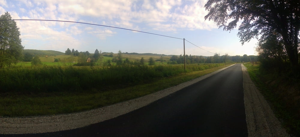
DDK szakasz Szentpéterfölde és Kistolmács között,egy kis gutorföldi előzetessel.


Galerie du tour

Carte du tour et altitude

  • Open Street Map
  • Google
Minimum height 110 m Maximum height 405 m Vue de détail

More about the tour author

frontera74
Member since 2011

Send private message

Commentaires

Vonat vagy busz Zalaegerszegtől,de elég ritkán.Kistolmácstól busz, vagy kisvasút vissza Csömödérre.

Tracks GPS

Trackpoints
  • GPX / Garmin Map Source (gpx) download
  • TCX / Garmin Training Center® (tcx) download
  • CRS / Garmin Training Center® (crs) download
  • Google Earth (kml) download
  • G7ToWin (g7t) download
  • TTQV (trk) download
  • Overlay (ovl) download
  • Fugawi (txt) download
  • Kompass (DAV) Track (tk) download
  • Feuille de tours (pdf) download
  • Original file of the author (gpx) download

More about the tour author

frontera74
Member since 2011

Send private message
Share track
Add to my favorites
Remove from my favorites
Edit tags
My score
Rate
Tour: DDK Szentpéterfölde(Gutorfölde)-Kistolmács
Cat.: Randonnées
Longueur: 26,9 km
Evaluated on:
Durée:
Day(s)
Hour(s)
Minute(s)
Evaluation: Paysage Aspect amusement Condition Technique