Start der Tour ist in Ebreichsdorf beim alten Sportplatz.
Die Strecke verläuft hauptsächlich auf Feld.- und Radwege.
Von Ebreichsdorf führt die Strecke über Feldwege, vorbei an Siegersdorf, Haschendorf und Eggendorf nach Wr.Neustadt.
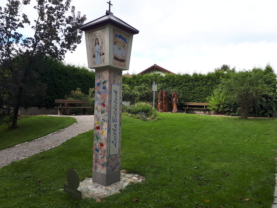
Ab Wr.Neustadt geht es über den EV9 Radweg nach Katzelsdorf und Lanzenkirchen zum Leithaursprung.
Vom Leithaursprung Richtung Frohsdorf, und auf dem Panoramaradweg nach Neudörfl.
Über Feldwege geht es durch Neufeld und Wampersdorf zurück nach Ebreichsdorf.
Galerie du tour
Carte du tour et altitude
Minimum height 194 m
Maximum height 308 m
Commentaires

Parkmöglichkeit beim Sportplatzin Ebreichsdorf, der Bahnhof befindet sich in ca.300m Entfernung
Tracks GPS
Trackpoints-
GPX / Garmin Map Source (gpx) download
-
TCX / Garmin Training Center® (tcx) download
-
CRS / Garmin Training Center® (crs) download
-
Google Earth (kml) download
-
G7ToWin (g7t) download
-
TTQV (trk) download
-
Overlay (ovl) download
-
Fugawi (txt) download
-
Kompass (DAV) Track (tk) download
-
Feuille de tours (pdf) download
-
Original file of the author (gpx) download
Add to my favorites
Remove from my favorites
Edit tags
Open track
My score
Rate


