Login

Login oublié ?

Cookies have to be accepted!
Your browser's cookie functionality is disabled. Please enable this functionality.

Not a member yet?

Register now
Login

Available for registred users only

Log in to use this feature.

Login oublié ?

Cookies have to be accepted!
Your browser's cookie functionality is disabled. Please enable this functionality.

Not a member yet?

Register now
Filter
Catégories
Advanced filters
  • Longueur (km)
  • Altimètre
Enregistrer le filtre Reset filter

TrackRank

QRCode

Technical data

Longueur39,8 km Altimètre1559 m Way down1554 m Durée03:30 h:m Date09.10.2018
Evaluations Author Paysage Aspect amusement Condition Technique

Statistiques

328 Vues Evaluations 44 Téléchargements Moyenne
Rate
  • Feuille de tours
  • Arrivée
  • Téléchargements

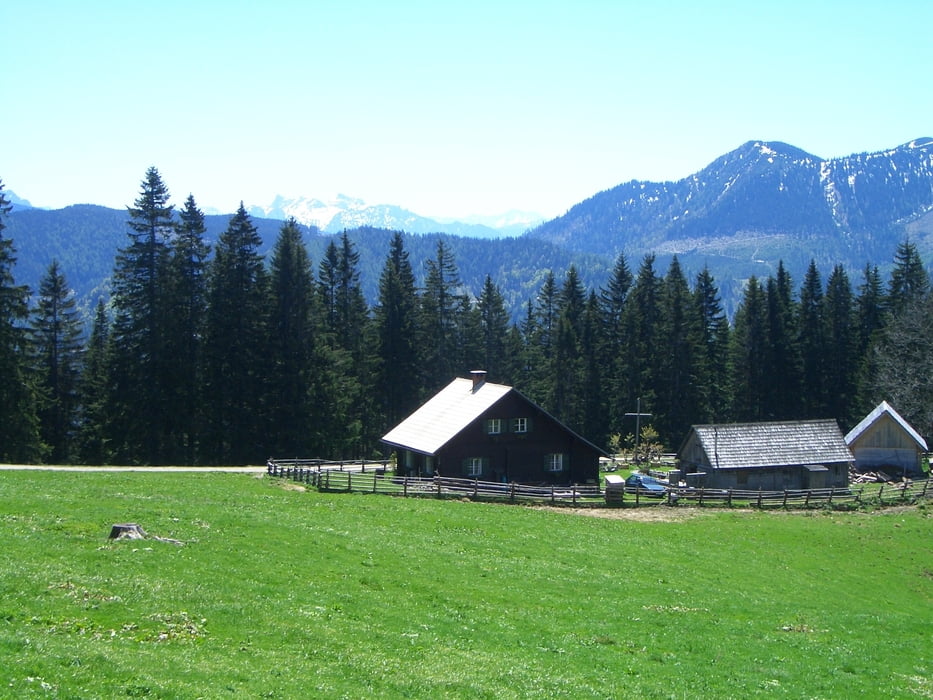
Tolle Blicke entschädigen für die Höhenmeter. Die Steigungen sind sehr moderat, keine Rampen die Körner kosten!

Am Schluss kann noch in den Bikepark Hollenstein einfahren - hier Fahrkönnen erforderlich!

Galerie du tour

Carte du tour et altitude

  • Open Street Map
  • Google
Minimum height 454 m Maximum height 1396 m Vue de détail

More about the tour author

spezibiker
Member since 2009

Send private message

Commentaires

Start beim Parkplatz vis a vis der Raika

Tracks GPS

Trackpoints
  • GPX / Garmin Map Source (gpx) download
  • TCX / Garmin Training Center® (tcx) download
  • CRS / Garmin Training Center® (crs) download
  • Google Earth (kml) download
  • G7ToWin (g7t) download
  • TTQV (trk) download
  • Overlay (ovl) download
  • Fugawi (txt) download
  • Kompass (DAV) Track (tk) download
  • Feuille de tours (pdf) download
  • Original file of the author (gpx) download

More about the tour author

spezibiker
Member since 2009

Send private message
Share track
Add to my favorites
Remove from my favorites
Edit tags
My score
Rate
Tour: Kitzhütten-Sonnbrandalmtour
Cat.: Mountainbike
Longueur: 39,8 km
Evaluated on:
Durée:
Day(s)
Hour(s)
Minute(s)
Evaluation: Paysage Aspect amusement Condition Technique