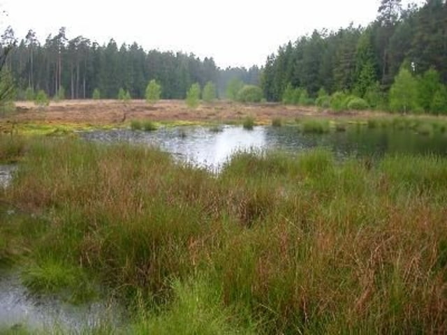
Schöne Tour rund um den Christenberg. Die Tour führt zum Großteil duch bewaldetes Naturschutzgebiet. Außer an einem Teilstück(chen) das nahe eines Ausflugslokals vorbeiführte waren wir trotz herrlichen Wetter alleine unterwegs.
Am Start / Zielpunkt befindet sich ein Parkplatz
Viel Spaß beim nachlaufen
Galerie du tour
Carte du tour et altitude
Minimum height 233 m
Maximum height 425 m
Commentaires

Tracks GPS
Trackpoints-
GPX / Garmin Map Source (gpx) download
-
TCX / Garmin Training Center® (tcx) download
-
CRS / Garmin Training Center® (crs) download
-
Google Earth (kml) download
-
G7ToWin (g7t) download
-
TTQV (trk) download
-
Overlay (ovl) download
-
Fugawi (txt) download
-
Kompass (DAV) Track (tk) download
-
Feuille de tours (pdf) download
-
Original file of the author (gpx) download
Add to my favorites
Remove from my favorites
Edit tags
Open track
My score
Rate


