Login

Login oublié ?

Cookies have to be accepted!
Your browser's cookie functionality is disabled. Please enable this functionality.

Not a member yet?

Register now
Login

Available for registred users only

Log in to use this feature.

Login oublié ?

Cookies have to be accepted!
Your browser's cookie functionality is disabled. Please enable this functionality.

Not a member yet?

Register now
Filter
Catégories
Advanced filters
  • Longueur (km)
  • Altimètre
Enregistrer le filtre Reset filter

TrackRank

QRCode

Technical data

Longueur13,3 km Altimètre117 m Way down113 m Durée02:00 h:m Date19.03.2019
Evaluations Author Paysage Aspect amusement Condition Technique

Statistiques

835 Vues Evaluations 28 Téléchargements Moyenne
Rate
  • Feuille de tours
  • Arrivée
  • Téléchargements

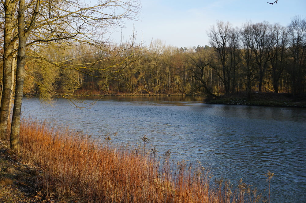
Vom Parkplatz Grieserwiese an der Isar entlang zur Flutmulde, dann die ganze Flutmulde und wieder zurück zum Parkplatz 

In der Stadt gibt es viele Möglichkeiten zum Einkehren

Die Tour kann auch gut mit dem Fahrad gemacht werden.

Carte du tour et altitude

  • Open Street Map
  • Google
Minimum height 427 m Maximum height 471 m Vue de détail

More about the tour author

Setio
Member since 2019

Send private message

Commentaires

Tracks GPS

Trackpoints
  • GPX / Garmin Map Source (gpx) download
  • TCX / Garmin Training Center® (tcx) download
  • CRS / Garmin Training Center® (crs) download
  • Google Earth (kml) download
  • G7ToWin (g7t) download
  • TTQV (trk) download
  • Overlay (ovl) download
  • Fugawi (txt) download
  • Kompass (DAV) Track (tk) download
  • Feuille de tours (pdf) download
  • Original file of the author (gpx) download

More about the tour author

Setio
Member since 2019

Send private message
Share track
Add to my favorites
Remove from my favorites
Edit tags
My score
Rate
Tour: Landshut, Flutmulde und Isar
Cat.: Randonnées
Longueur: 13,3 km
Evaluated on:
Durée:
Day(s)
Hour(s)
Minute(s)
Evaluation: Paysage Aspect amusement Condition Technique