Login

Login oublié ?

Cookies have to be accepted!
Your browser's cookie functionality is disabled. Please enable this functionality.

Not a member yet?

Register now
Login

Available for registred users only

Log in to use this feature.

Login oublié ?

Cookies have to be accepted!
Your browser's cookie functionality is disabled. Please enable this functionality.

Not a member yet?

Register now
Filter
Catégories
Advanced filters
  • Longueur (km)
  • Altimètre
Enregistrer le filtre Reset filter

TrackRank

QRCode

Technical data

Longueur68,3 km Altimètre1392 m Way down1346 m Durée05:10 h:m Date25.03.2019
Evaluations Author Paysage Aspect amusement Condition Technique

Statistiques

333 Vues Evaluations 9 Téléchargements Moyenne
Rate
  • Feuille de tours
  • Arrivée
  • Téléchargements

Technisch anspruchsvoll vom Roppersberg und vom Schöpfl runter. Sonst angenehm zu fahren. Die letzten km geschmeidig auf dem schönen Laabental Radweg entlang.

Zurück mit dem Zug nach Wien.
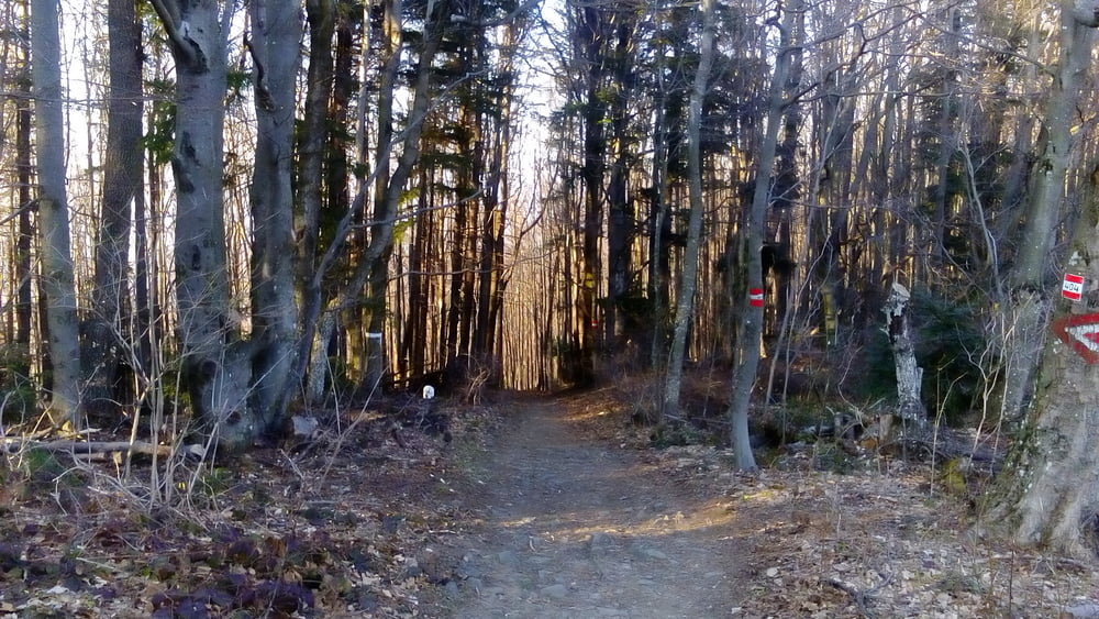
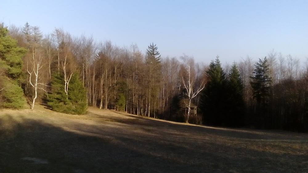
Galerie du tour

Carte du tour et altitude

  • Open Street Map
  • Google
Minimum height 215 m Maximum height 871 m Vue de détail

More about the tour author

mitter
Member since 2008

Send private message

Commentaires

Start in Meidling Nähe Bahnhof.

Tracks GPS

Trackpoints
  • GPX / Garmin Map Source (gpx) download
  • TCX / Garmin Training Center® (tcx) download
  • CRS / Garmin Training Center® (crs) download
  • Google Earth (kml) download
  • G7ToWin (g7t) download
  • TTQV (trk) download
  • Overlay (ovl) download
  • Fugawi (txt) download
  • Kompass (DAV) Track (tk) download
  • Feuille de tours (pdf) download
  • Original file of the author (gpx) download

More about the tour author

mitter
Member since 2008

Send private message
Share track
Add to my favorites
Remove from my favorites
Edit tags
My score
Rate
Tour: Wien-Schöpfl-Neulengbach 190323
Cat.: Mountainbike
Longueur: 68,3 km
Evaluated on:
Durée:
Day(s)
Hour(s)
Minute(s)
Evaluation: Paysage Aspect amusement Condition Technique