


Wandern in Frankens schönster Weingegend! Aus dem Rother Wanderbuch: Weinwandern "Fränkisches Weinland mit Taubertal"_ Nr.09 | Von Prichsenstadt nach Wiesentheid
Schöne flache lockere Wanderung!
Von 01 bis 02 viel Windbruch der noch nicht beseitigt ist! Alternativ zu Punkt 03 laufen!
Kleine Pause im Cafe am Marienplatz in Wiesentheid bietet sich an! Kaffee und Kuchen..........
Viel Spaß!
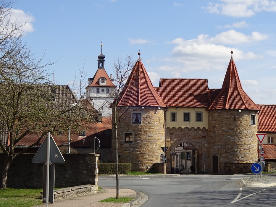
Galerie du tour


Carte du tour et altitude
Minimum height 206 m
Maximum height 342 m
More about the tour author
|
|
FLU |
Commentaires

Tracks GPS
Trackpoints-
GPX / Garmin Map Source (gpx) download
-
TCX / Garmin Training Center® (tcx) download
-
CRS / Garmin Training Center® (crs) download
-
Google Earth (kml) download
-
G7ToWin (g7t) download
-
TTQV (trk) download
-
Overlay (ovl) download
-
Fugawi (txt) download
-
Kompass (DAV) Track (tk) download
-
Feuille de tours (pdf) download
-
Original file of the author (gpx) download
More about the tour author
|
|
FLU |
Add to my favorites
Remove from my favorites
Edit tags
Open track
My score
Rate