Login

Login oublié ?

Cookies have to be accepted!
Your browser's cookie functionality is disabled. Please enable this functionality.

Not a member yet?

Register now
Login

Available for registred users only

Log in to use this feature.

Login oublié ?

Cookies have to be accepted!
Your browser's cookie functionality is disabled. Please enable this functionality.

Not a member yet?

Register now
Filter
Catégories
Advanced filters
  • Longueur (km)
  • Altimètre
Enregistrer le filtre Reset filter

TrackRank

QRCode

Technical data

Longueur86,4 km Altimètre1646 m Way down1648 m Durée04:00 h:m Date24.04.2019
Evaluations Author Paysage Aspect amusement Condition Technique

Statistiques

293 Vues Evaluations 94 Téléchargements Moyenne
Rate
  • Feuille de tours
  • Arrivée
  • Téléchargements

Von Moosbach nach Sonthofen, Oberjoch, Tannheimertal, Nesselwang über Oy an Rottachsee.

Abwechslungsreiche und anspruchsvolle Runde mit einigen Höhenmeter, landschaftlich schöne Tour mit tollen Aussichtspunkten. Längster Anstieg nach Oberjoch ca 330hm.
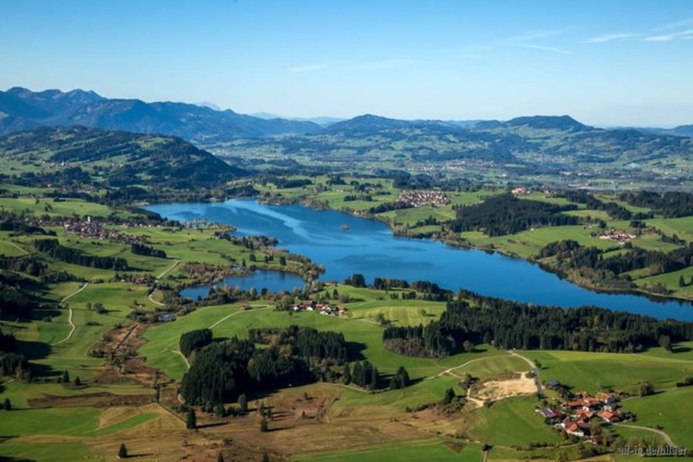
Galerie du tour

Carte du tour et altitude

  • Open Street Map
  • Google
Minimum height 749 m Maximum height 1175 m Vue de détail

More about the tour author

alexundrainer
Member since 2010

Send private message

Commentaires

Tracks GPS

Trackpoints
  • GPX / Garmin Map Source (gpx) download
  • TCX / Garmin Training Center® (tcx) download
  • CRS / Garmin Training Center® (crs) download
  • Google Earth (kml) download
  • G7ToWin (g7t) download
  • TTQV (trk) download
  • Overlay (ovl) download
  • Fugawi (txt) download
  • Kompass (DAV) Track (tk) download
  • Feuille de tours (pdf) download
  • Original file of the author (gpx) download

More about the tour author

alexundrainer
Member since 2010

Send private message
Share track
Add to my favorites
Remove from my favorites
Edit tags
My score
Rate
Tour: Rottachsee Tannheimertal
Cat.: Vélo de course
Longueur: 86,4 km
Evaluated on:
Durée:
Day(s)
Hour(s)
Minute(s)
Evaluation: Paysage Aspect amusement Condition Technique