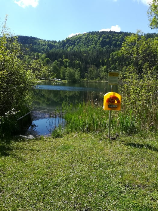
Das Vierseental beginnt in Klagenfurt-Viktring und geht Richtung Keutschach. Vorbei an Treimischerteich, Rauschelesee, Baßgeigensee, Keutschacher See, Hafnersee zum Kathreinkogel zwischen Schiefling und St. Egyd. Dort zurück zum Radweg R4A und weiter Richtung Klagenfurt über Schiefling. Über Keutschach die gleiche Strecke wieder zurück.
Galerie du tour
Carte du tour et altitude
Minimum height 441 m
Maximum height 602 m
Commentaires

Tracks GPS
Trackpoints-
GPX / Garmin Map Source (gpx) download
-
TCX / Garmin Training Center® (tcx) download
-
CRS / Garmin Training Center® (crs) download
-
Google Earth (kml) download
-
G7ToWin (g7t) download
-
TTQV (trk) download
-
Overlay (ovl) download
-
Fugawi (txt) download
-
Kompass (DAV) Track (tk) download
-
Feuille de tours (pdf) download
-
Original file of the author (gpx) download
Add to my favorites
Remove from my favorites
Edit tags
Open track
My score
Rate


