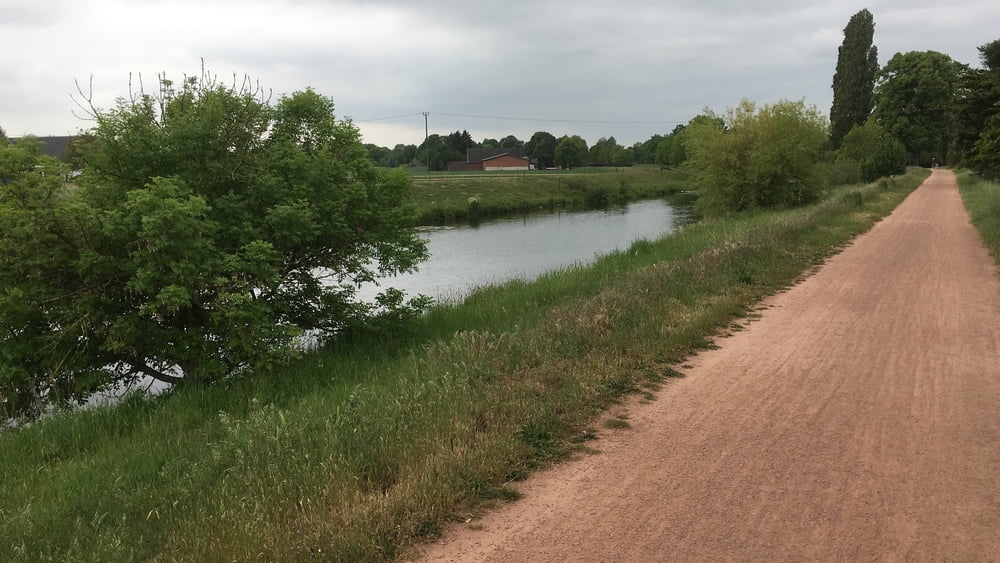
Vom Bahnhof Bocholt (D) durch die Innenstadt zur Bocholter Aa. Entlang des kleinen Flusses über die Grenze nach Ulft (NL), wo die Aa in die Oude Ijssel mündet. Von dort entlang der Grenze zum Bahnhof Millingen (Rees) in Deutschland.
Galerie du tour
Carte du tour et altitude
Minimum height 11 m
Maximum height 23 m
Commentaires

Tracks GPS
Trackpoints-
GPX / Garmin Map Source (gpx) download
-
TCX / Garmin Training Center® (tcx) download
-
CRS / Garmin Training Center® (crs) download
-
Google Earth (kml) download
-
G7ToWin (g7t) download
-
TTQV (trk) download
-
Overlay (ovl) download
-
Fugawi (txt) download
-
Kompass (DAV) Track (tk) download
-
Feuille de tours (pdf) download
-
Original file of the author (gpx) download
Add to my favorites
Remove from my favorites
Edit tags
Open track
My score
Rate


