Login

Login oublié ?

Cookies have to be accepted!
Your browser's cookie functionality is disabled. Please enable this functionality.

Not a member yet?

Register now
Login

Available for registred users only

Log in to use this feature.

Login oublié ?

Cookies have to be accepted!
Your browser's cookie functionality is disabled. Please enable this functionality.

Not a member yet?

Register now
Filter
Catégories
Advanced filters
  • Longueur (km)
  • Altimètre
Enregistrer le filtre Reset filter

TrackRank

QRCode

Technical data

Longueur45,0 km Altimètre805 m Way down656 m Durée03:00 h:m Date27.05.2019
Evaluations Author Paysage Aspect amusement Condition Technique

Statistiques

477 Vues Evaluations 161 Téléchargements Moyenne
Rate
  • Feuille de tours
  • Arrivée
  • Téléchargements

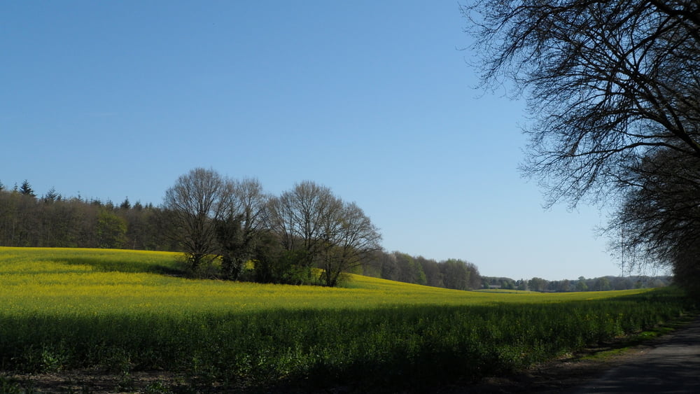
Rondje over de heuvels van het Reichswald (Reichswaldtrail)

parkeren:

  • parkeerplaats Treppkesweg Materborn
  • parkeerplaats Sieben Quellen Nimwegerstrasse Donsbrüggen
  • parkeerplaats Zwarteweg Milsbeek
  • parkeerplaats Warcemetry GrunewaldStrasse Kleve - Ven Zelderheide
  • parkeerplaats Kranenburgerstrasse (weg 504, Kranenburg-Goch)

zie ook Fiets Magazine augustus 2019

Galerie du tour

Carte du tour et altitude

  • Open Street Map
  • Google
Minimum height 12 m Maximum height 91 m Vue de détail

More about the tour author

roelbecking
Member since 2018

Send private message

Commentaires

zie boven

Tracks GPS

Trackpoints
  • GPX / Garmin Map Source (gpx) download
  • TCX / Garmin Training Center® (tcx) download
  • CRS / Garmin Training Center® (crs) download
  • Google Earth (kml) download
  • G7ToWin (g7t) download
  • TTQV (trk) download
  • Overlay (ovl) download
  • Fugawi (txt) download
  • Kompass (DAV) Track (tk) download
  • Feuille de tours (pdf) download
  • Original file of the author (gpx) download

More about the tour author

roelbecking
Member since 2018

Send private message
Share track
Add to my favorites
Remove from my favorites
Edit tags
My score
Rate
Tour: Reichswaldtrail
Cat.: Mountainbike
Longueur: 45,0 km
Evaluated on:
Durée:
Day(s)
Hour(s)
Minute(s)
Evaluation: Paysage Aspect amusement Condition Technique