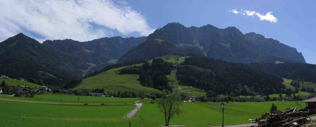
Die Rund-Tour führt von Walchsee zur Gachenalm. Die Wegbeschaffenheit besteht aus Schotterpisten und Teerwegen. Es sind mäßige Anstiege zu bewältigen. Der aufgezeichnete Track enthält Ruhebänke, Aussichtspunkte und bewirtschaftete Almen entlang der Route.
Further information at
http://www.kaiserwinkl.com/Galerie du tour
Carte du tour et altitude
Minimum height 650 m
Maximum height 1025 m
Commentaires

Die Tour beginnt und endet am Parkplatz in Walchsee.
Tracks GPS
Trackpoints-
GPX / Garmin Map Source (gpx) download
-
TCX / Garmin Training Center® (tcx) download
-
CRS / Garmin Training Center® (crs) download
-
Google Earth (kml) download
-
G7ToWin (g7t) download
-
TTQV (trk) download
-
Overlay (ovl) download
-
Fugawi (txt) download
-
Kompass (DAV) Track (tk) download
-
Feuille de tours (pdf) download
-
Original file of the author (gpx) download
Add to my favorites
Remove from my favorites
Edit tags
Open track
My score
Rate


