

Lange Tour durch die Poqueira-Schlucht. Durch schöne weiße Bergdörfer mit verwinkelten Ortskernen. Imposante Blicke auf die schneebedeckten Gipfel der Sierra Nevada. Die Tour ist anstrengend, da der Weg stellenweise sehr steil und tlw. zugewachsen ist.
Am Ausgangsort ist ein öffentlicher Parkplatz, auf dem kostenlos geparkt werden kann.
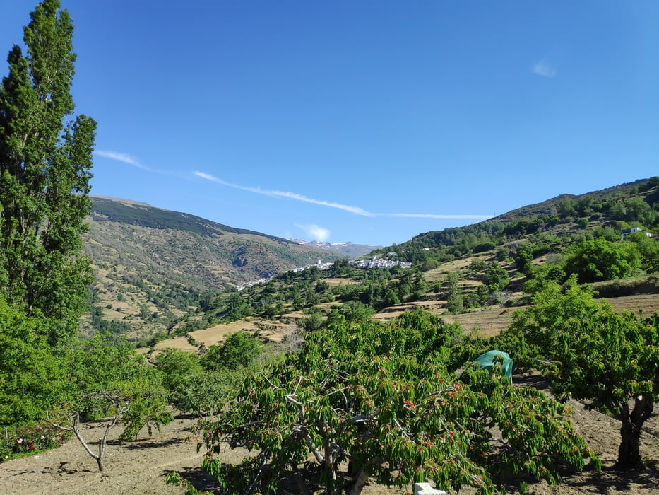
Galerie du tour

Carte du tour et altitude
Minimum height 1030 m
Maximum height 1603 m
More about the tour author

|
klixx |
Commentaires

Ausgangspunkt ist Pampaneira
Tracks GPS
Trackpoints-
GPX / Garmin Map Source (gpx) download
-
TCX / Garmin Training Center® (tcx) download
-
CRS / Garmin Training Center® (crs) download
-
Google Earth (kml) download
-
G7ToWin (g7t) download
-
TTQV (trk) download
-
Overlay (ovl) download
-
Fugawi (txt) download
-
Kompass (DAV) Track (tk) download
-
Feuille de tours (pdf) download
-
Original file of the author (gpx) download
More about the tour author
|
|
klixx |
Add to my favorites
Remove from my favorites
Edit tags
Open track
My score
Rate