
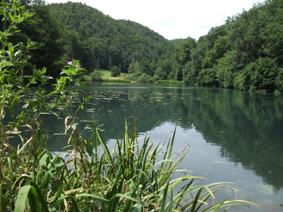

Sehr schöne, schnelle single way Tour über die schwäbische Alb.
Fahrtechnisch einfach, alles Forstweg, wenig Straße, einzig der Abstieg von Erkenbrechtsweiler nach Owen ist singletrail. Umfahrung über die Steige nach Hülben problemlos möglich.
Die Tour wurde über Jahre verbessert und mit möglichst viel Forstweg/Radweg gespickt.
Rückweg nach Albstadt mit dem Zug möglich.
Die Tour ist auch in der entgegengesetzten Richtung machbar, dann aber Kondition eher "4". Dann ca. 1450hm.
Einkehr in Kircheim z.b. Backhaus (Endpunkt Trail) bzw. Fußgängerzone
Viel Freude
Carte du tour et altitude
Minimum height 306 m
Maximum height 902 m
More about the tour author
|
|
albmountain |
Commentaires

Tracks GPS
Trackpoints-
GPX / Garmin Map Source (gpx) download
-
TCX / Garmin Training Center® (tcx) download
-
CRS / Garmin Training Center® (crs) download
-
Google Earth (kml) download
-
G7ToWin (g7t) download
-
TTQV (trk) download
-
Overlay (ovl) download
-
Fugawi (txt) download
-
Kompass (DAV) Track (tk) download
-
Feuille de tours (pdf) download
-
Original file of the author (gpx) download
More about the tour author
|
|
albmountain |
Add to my favorites
Remove from my favorites
Edit tags
Open track
My score
Rate