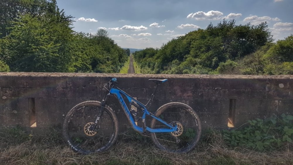
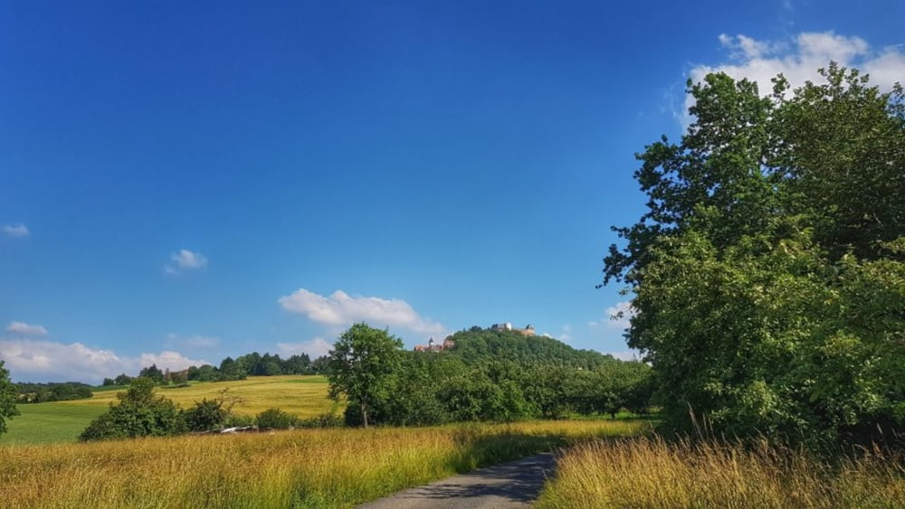
Heute mal den Sommerweg nach Umstadt getestet. Nicht zu Empfehlen, ist ziemlich zugewuchert. Viel Brennesseln und Dornen. Regen und Sonne läßt alles gut wachsen. Von Umstadt dann rüber nach Lengfeld und hoch zum Otzberg nach Hering. Von hier dann hinunter nach Ober-Nauses und dann Heim. #noebike
Galerie du tour
Carte du tour et altitude
Minimum height 167 m
Maximum height 338 m
Commentaires

Tracks GPS
Trackpoints-
GPX / Garmin Map Source (gpx) download
-
TCX / Garmin Training Center® (tcx) download
-
CRS / Garmin Training Center® (crs) download
-
Google Earth (kml) download
-
G7ToWin (g7t) download
-
TTQV (trk) download
-
Overlay (ovl) download
-
Fugawi (txt) download
-
Kompass (DAV) Track (tk) download
-
Feuille de tours (pdf) download
-
Original file of the author (gpx) download
Add to my favorites
Remove from my favorites
Edit tags
Open track
My score
Rate


