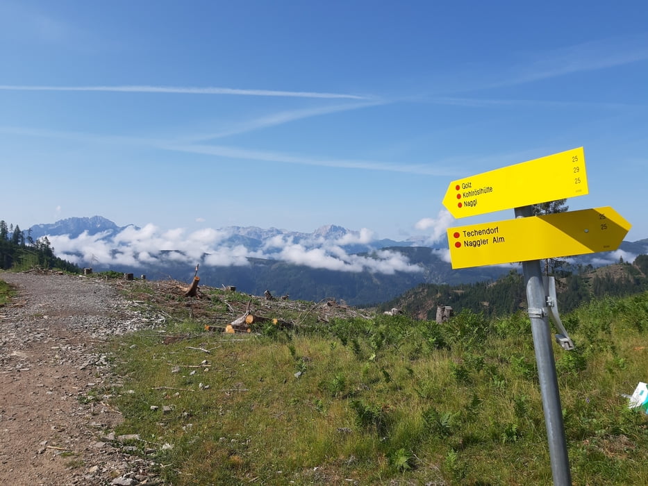
Gatschach-Naggler Alm-Jadendorfer Alm-Verfahrer-
Bodenalm-Verfahrer-Paterzipf-Alte Mühle-Techendorf-Gatschach
Bis auf die zwei Verfahrer - mit Wegpunkten gekennzeichnet - (einmal wollte ich einen steilen Graben nicht queren und das zweite Mal waren Waldarbeiter zugange) eine gute Tour auf der Südflanke des Weißensees.
Galerie du tour
Carte du tour et altitude
Minimum height 937 m
Maximum height 1540 m
Commentaires

Start und Ziel in Gatschach.
Tracks GPS
Trackpoints-
GPX / Garmin Map Source (gpx) download
-
TCX / Garmin Training Center® (tcx) download
-
CRS / Garmin Training Center® (crs) download
-
Google Earth (kml) download
-
G7ToWin (g7t) download
-
TTQV (trk) download
-
Overlay (ovl) download
-
Fugawi (txt) download
-
Kompass (DAV) Track (tk) download
-
Feuille de tours (pdf) download
-
Original file of the author (gpx) download
Add to my favorites
Remove from my favorites
Edit tags
Open track
My score
Rate


