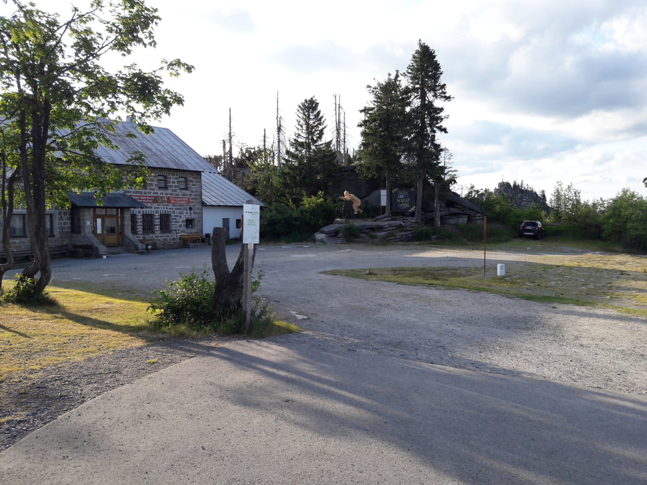
wir starten in Neureichenau und fahren auf Wald und Schotterwegen auf den Dreisessel.
Am Gipfel angekommen hat man sich nach der letzten Rampe eine Pause verdient und man kann im Gasthaus einkehren.
Danach geht es auf dem Winterwanderweg und tollen Trails zurück richtung Neureichenau bevor es auf der Teerstrasse zum Ausrollen wieder zum Ausgangspunkt geht
Galerie du tour
Carte du tour et altitude
Minimum height 534 m
Maximum height 712 m
Commentaires

Tracks GPS
Trackpoints-
GPX / Garmin Map Source (gpx) download
-
TCX / Garmin Training Center® (tcx) download
-
CRS / Garmin Training Center® (crs) download
-
Google Earth (kml) download
-
G7ToWin (g7t) download
-
TTQV (trk) download
-
Overlay (ovl) download
-
Fugawi (txt) download
-
Kompass (DAV) Track (tk) download
-
Feuille de tours (pdf) download
-
Original file of the author (gpx) download
Add to my favorites
Remove from my favorites
Edit tags
Open track
My score
Rate


