Login

Login oublié ?

Cookies have to be accepted!
Your browser's cookie functionality is disabled. Please enable this functionality.

Not a member yet?

Register now
Login

Available for registred users only

Log in to use this feature.

Login oublié ?

Cookies have to be accepted!
Your browser's cookie functionality is disabled. Please enable this functionality.

Not a member yet?

Register now
Filter
Catégories
Advanced filters
  • Longueur (km)
  • Altimètre
Enregistrer le filtre Reset filter

TrackRank

QRCode

Technical data

Longueur29,4 km Altimètre959 m Way down934 m Durée02:55 h:m Date21.07.2019
Evaluations Author Paysage Aspect amusement Condition Technique

Statistiques

270 Vues Evaluations 106 Téléchargements Moyenne
Rate
  • Feuille de tours
  • Arrivée
  • Téléchargements
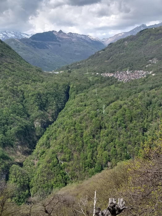
Von Dongo am Comer See bis Domaso, dann die Teerstraße bergauf nach Vercana. Der Straße immer weiter folgen bis Argino, Dann einen Pfad und auf alten Eselspfaden bergab bis Trezzone und Gera Lario. Dem Comer See zurück nach Dongo.

Carte du tour et altitude

  • Open Street Map
  • Google
Minimum height 168 m Maximum height 1073 m Vue de détail

More about the tour author

bernd_brinck
Member since 2011

Send private message

Commentaires

Start in Dongo am Comer See

Tracks GPS

Trackpoints
  • GPX / Garmin Map Source (gpx) download
  • TCX / Garmin Training Center® (tcx) download
  • CRS / Garmin Training Center® (crs) download
  • Google Earth (kml) download
  • G7ToWin (g7t) download
  • TTQV (trk) download
  • Overlay (ovl) download
  • Fugawi (txt) download
  • Kompass (DAV) Track (tk) download
  • Feuille de tours (pdf) download
  • Original file of the author (gpx) download

More about the tour author

bernd_brinck
Member since 2011

Send private message
Share track
Add to my favorites
Remove from my favorites
Edit tags
My score
Rate
Tour: Domaso
Cat.: Mountainbike
Longueur: 29,4 km
Evaluated on:
Durée:
Day(s)
Hour(s)
Minute(s)
Evaluation: Paysage Aspect amusement Condition Technique