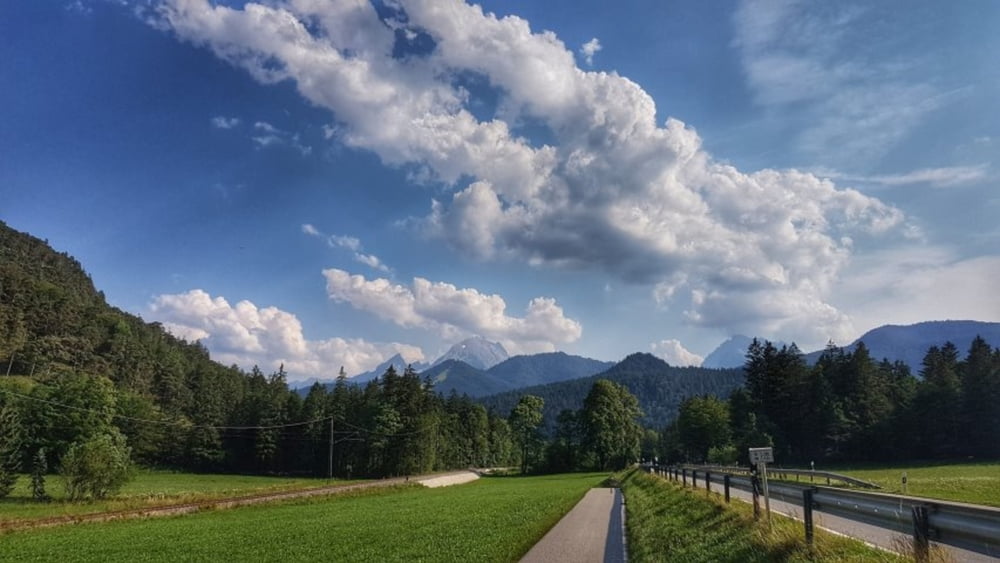
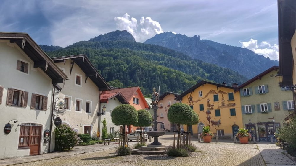
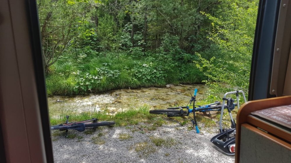
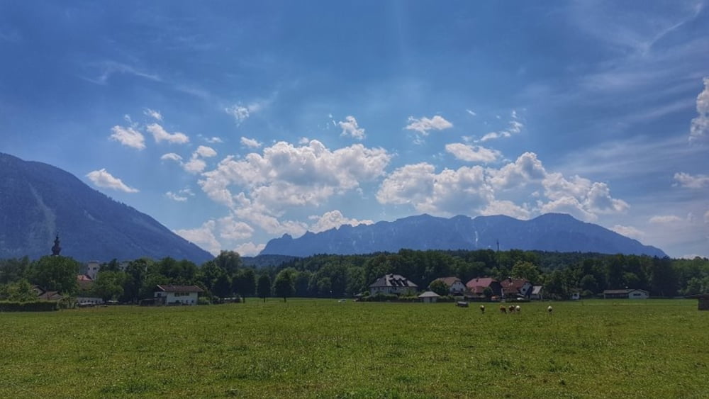
Vom Camping in Winkl geht es über den Fahrradweg hinunter nach Bayerisch Gmain und dann hinüber nach Österreich. Nach dem kleinen Abstecher zu den Nachbarn wieder bei Marzoll über die nicht spürbare Grenze hinunter zur Saalach. An dieser entlang hinein nach Bad Reichenhall. Hier eine Laufstrecke durch die Fußgängerzone. Dann wieder hoch nach Bayerisch Gmain und nach einem Biergartenstop zurück zum Camping. #noebike
Galerie du tour
Carte du tour et altitude
Minimum height 449 m
Maximum height 711 m
Commentaires

Tracks GPS
Trackpoints-
GPX / Garmin Map Source (gpx) download
-
TCX / Garmin Training Center® (tcx) download
-
CRS / Garmin Training Center® (crs) download
-
Google Earth (kml) download
-
G7ToWin (g7t) download
-
TTQV (trk) download
-
Overlay (ovl) download
-
Fugawi (txt) download
-
Kompass (DAV) Track (tk) download
-
Feuille de tours (pdf) download
-
Original file of the author (gpx) download
Add to my favorites
Remove from my favorites
Edit tags
Open track
My score
Rate


