Login

Login oublié ?

Cookies have to be accepted!
Your browser's cookie functionality is disabled. Please enable this functionality.

Not a member yet?

Register now
Login

Available for registred users only

Log in to use this feature.

Login oublié ?

Cookies have to be accepted!
Your browser's cookie functionality is disabled. Please enable this functionality.

Not a member yet?

Register now
Filter
Catégories
Advanced filters
  • Longueur (km)
  • Altimètre
Enregistrer le filtre Reset filter

TrackRank

QRCode

Technical data

Longueur60,8 km Altimètre740 m Way down740 m Durée00:00 h:m Date27.07.2019
Evaluations Author Paysage Aspect amusement Condition Technique

Statistiques

121 Vues Evaluations 15 Téléchargements Moyenne
Rate
  • Feuille de tours
  • Arrivée
  • Téléchargements
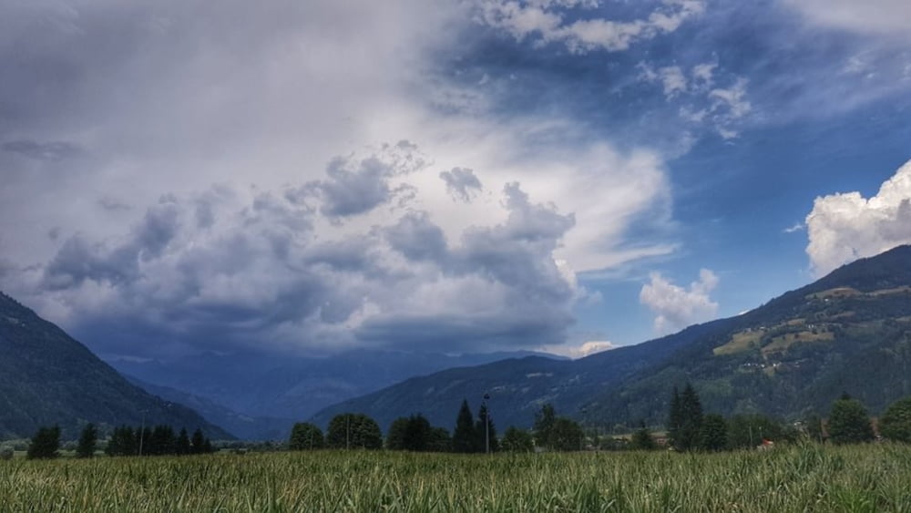
Mal wieder auf dem Drautalradweg unterwegs. Gemütlich mit leichtem auf und ab auf überwiegend schattigen Wegen bis nach Dellach. Dann auf dem gleichen Weg zurück. Zwischendurch Einkehr in der Radlerstation Sandhof. #noebike

Galerie du tour

Carte du tour et altitude

  • Open Street Map
  • Google
Minimum height 565 m Maximum height 724 m Vue de détail

More about the tour author

mh021255
Member since 2009

Send private message

Commentaires

Tracks GPS

Trackpoints
  • GPX / Garmin Map Source (gpx) download
  • TCX / Garmin Training Center® (tcx) download
  • CRS / Garmin Training Center® (crs) download
  • Google Earth (kml) download
  • G7ToWin (g7t) download
  • TTQV (trk) download
  • Overlay (ovl) download
  • Fugawi (txt) download
  • Kompass (DAV) Track (tk) download
  • Feuille de tours (pdf) download
  • Original file of the author (gpx) download

More about the tour author

mh021255
Member since 2009

Send private message
Share track
Add to my favorites
Remove from my favorites
Edit tags
My score
Rate
Tour: auf dem Drauradweg von Kleblach-Lind nach Dellach
Cat.: Touring vélo
Longueur: 60,8 km
Evaluated on:
Durée:
Day(s)
Hour(s)
Minute(s)
Evaluation: Paysage Aspect amusement Condition Technique