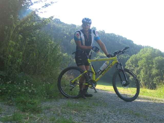
Vom Buchenbachtal übers Murrtal ins Otterbachtal, meißt Feld und Forstwege und nur kleine Traileinlagen , die aber nicht sonderlich Anspruchvoll sind.
Allerdings ist das Buchenbachtal sehenswert und Natur pur.
Allerdings ist das Buchenbachtal sehenswert und Natur pur.
Galerie du tour
Carte du tour et altitude
Minimum height 211 m
Maximum height 323 m
Commentaires

Kreuzung Schwaikheim Winnenden Weiler zum Stein und Affalterbach, dort kann auch geparkt werden
Tracks GPS
Trackpoints-
GPX / Garmin Map Source (gpx) download
-
TCX / Garmin Training Center® (tcx) download
-
CRS / Garmin Training Center® (crs) download
-
Google Earth (kml) download
-
G7ToWin (g7t) download
-
TTQV (trk) download
-
Overlay (ovl) download
-
Fugawi (txt) download
-
Kompass (DAV) Track (tk) download
-
Feuille de tours (pdf) download
-
Original file of the author (g7t) download
Add to my favorites
Remove from my favorites
Edit tags
Open track
My score
Rate


