

Lasciata l'auto nei pressi della spiaggia di Cavoli si risale per asfalto fino ai paesi di San Piero e Sant'Ilario (fontana). Da qui con molto ripisa salita su strada sterrata si risale il monte Perone fino a poco sotto la cima. Al bivio, segnalato in loco sentiero 124 si scende verso il romitorio di San Francesco Saverio. Attenzione ad un tratto molto ripido impossibile da fare in mountainbike e difficile anche a piedi. Sono solo 50 metri ma prestare massima attenzione. Oltrepassato, la traccia continua per bel sentiero fino a sbucare sulla strada asfaltata nei pressi della pieve di San Giovanni. La si raggiunge per asfalto e si prosegue per sentiero fino a raggiungere il campo da calcio di San Piero. Dopo inversione a U si prende una strada sterrata che diviene poi sentiero e scende nei pressi della spiaggia di cavoli al ponto di partenza.
Further information at
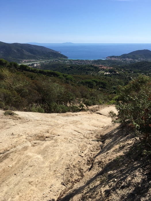
http://www.islepark.it/Galerie du tour


Carte du tour et altitude
Minimum height 55 m
Maximum height 561 m
More about the tour author

|
mikyross |
Commentaires

italia toscana livorno isola d'elba marina di campo località spiaggia di cavoli
Tracks GPS
Trackpoints-
GPX / Garmin Map Source (gpx) download
-
TCX / Garmin Training Center® (tcx) download
-
CRS / Garmin Training Center® (crs) download
-
Google Earth (kml) download
-
G7ToWin (g7t) download
-
TTQV (trk) download
-
Overlay (ovl) download
-
Fugawi (txt) download
-
Kompass (DAV) Track (tk) download
-
Feuille de tours (pdf) download
-
Original file of the author (gpx) download
More about the tour author
|
|
mikyross |
Add to my favorites
Remove from my favorites
Edit tags
Open track
My score
Rate