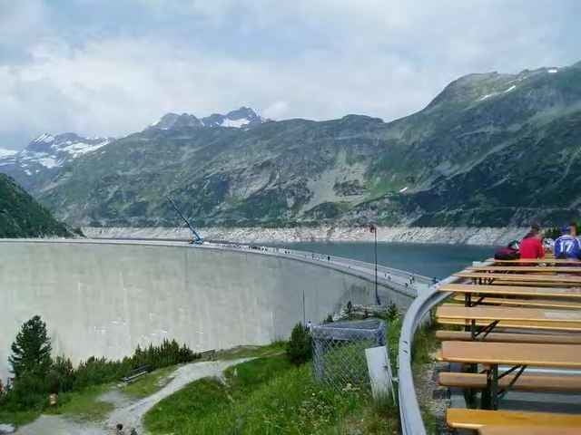
Von Spittal - zur Kölbreinsperre
Reine Asphaltstrecke, jedoch aufgrund der Steigung für MTB ideal. Diese Strecke ist auf Bestandteil des Kärntern Seen Biking Systems.
Eventuell Licht mitnehmen, da die Tunnels schlecht, bzw. gar nicht beleuchtet sind
Reine Asphaltstrecke, jedoch aufgrund der Steigung für MTB ideal. Diese Strecke ist auf Bestandteil des Kärntern Seen Biking Systems.
Eventuell Licht mitnehmen, da die Tunnels schlecht, bzw. gar nicht beleuchtet sind
Galerie du tour
Carte du tour et altitude
Minimum height 524 m
Maximum height 1902 m
Commentaires

Tracks GPS
Trackpoints-
GPX / Garmin Map Source (gpx) download
-
TCX / Garmin Training Center® (tcx) download
-
CRS / Garmin Training Center® (crs) download
-
Google Earth (kml) download
-
G7ToWin (g7t) download
-
TTQV (trk) download
-
Overlay (ovl) download
-
Fugawi (txt) download
-
Kompass (DAV) Track (tk) download
-
Feuille de tours (pdf) download
Add to my favorites
Remove from my favorites
Edit tags
Open track
My score
Rate


