


ausgedehnte Rundwanderung von Schloß Achberg nach Blumegg.
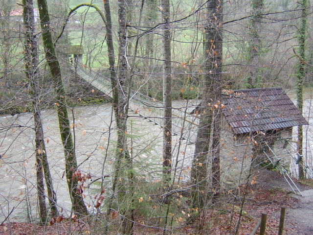
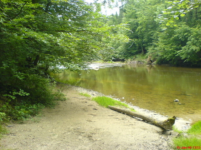
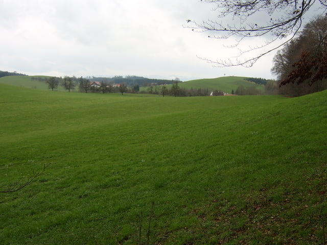
Beim Schloß parken, dann am Schloß vorbei am oberen Argenhang entlang (Hasenweg). Dann etwas unüblich hinunter an die Argen und bis zur Argenbrücke bei Blumegg. Zurück über Blumegg am oberen Argenhang nach Reisenbronn und Hängebrücke Flunau.
Verplegung gibts So. im Schloß Achberg (gut und günstig von den Landfrauen).
Die Tour kann ca. 1Std verlängert werden, wenn man vor der Brücke bei Blumegg (beim verlassenen Bauernhof) links hoch geht und die Argenzusammenflußwanderung (Tour xx) anhängt (lohnt).
Galerie du tour
Carte du tour et altitude
Minimum height 470 m
Maximum height 573 m
More about the tour author
|
|
skyhopper |
Commentaires
Achberg: B18 Wangen Lindau, 500m nach Neuravensburg links Richtung Essratsweiler / Achberg. Ca. 1km nach Autobahnüberquerung links Richtung Schloß Achberg.
Tracks GPS
Trackpoints-
GPX / Garmin Map Source (gpx) download
-
TCX / Garmin Training Center® (tcx) download
-
CRS / Garmin Training Center® (crs) download
-
Google Earth (kml) download
-
G7ToWin (g7t) download
-
TTQV (trk) download
-
Overlay (ovl) download
-
Fugawi (txt) download
-
Kompass (DAV) Track (tk) download
-
Feuille de tours (pdf) download
-
Original file of the author (gpx) download
More about the tour author
|
|
skyhopper |
Add to my favorites
Remove from my favorites
Edit tags
Open track
My score
Rate
Argenwanderung