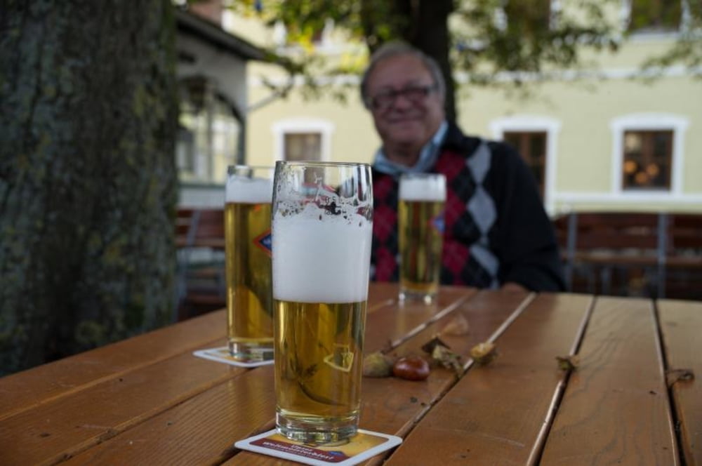
Schwingen Sie sich auf den Sattel und starten Sie eine besondere Radtour durch die berühmte Thermenlandschaft und atemberaubende Natur am Rott und Inn.
Erleben und genießen Sie in zwei bis drei leichten Tagestouren neben bodenständiger Schmankerl auch die gepflegte Kulturlandschaft auf diesen schönen "Flecken" Niederbayerns!
Galerie du tour
Carte du tour et altitude
Minimum height 303 m
Maximum height 503 m
Commentaires

Tracks GPS
Trackpoints-
GPX / Garmin Map Source (gpx) download
-
TCX / Garmin Training Center® (tcx) download
-
CRS / Garmin Training Center® (crs) download
-
Google Earth (kml) download
-
G7ToWin (g7t) download
-
TTQV (trk) download
-
Overlay (ovl) download
-
Fugawi (txt) download
-
Kompass (DAV) Track (tk) download
-
Feuille de tours (pdf) download
-
Original file of the author (gpx) download
Add to my favorites
Remove from my favorites
Edit tags
Open track
My score
Rate


