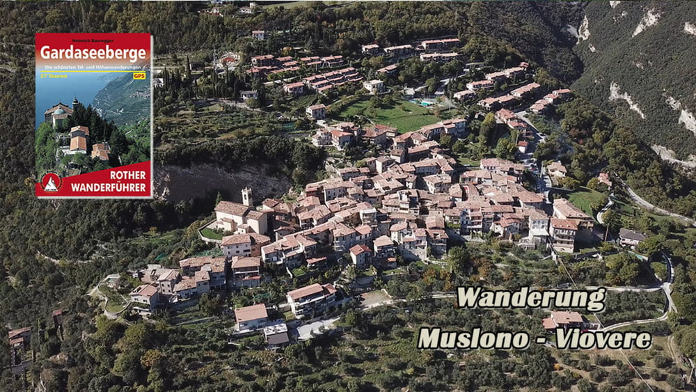
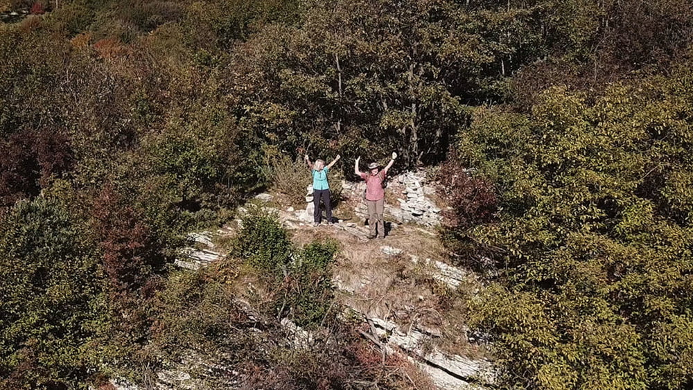
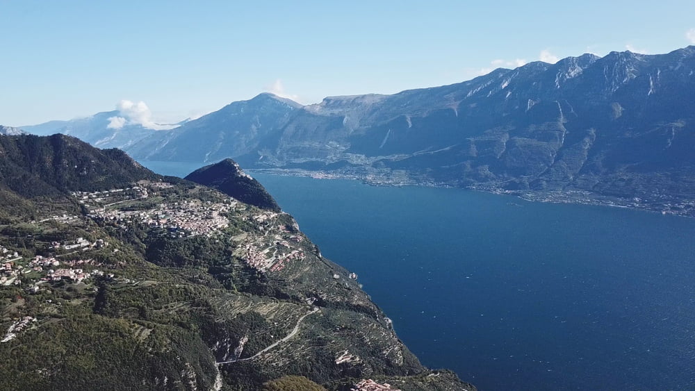
Wir durchlaufen den Ort Muslono und steigen zu dem 914m hohen Monte Rocchetta auf. Vom Gipfel geht es über Serpentinen hinab zum Ort Piovere. Muslone u. Piovere haben ihre Ursprünglichkeit bewahrt. Der weitere Weg führt durch Oliven Heine zu unserem Ausgangspunkt zurück.
Galerie du tour
Carte du tour et altitude
Minimum height 387 m
Maximum height 969 m
Commentaires

Tracks GPS
Trackpoints-
GPX / Garmin Map Source (gpx) download
-
TCX / Garmin Training Center® (tcx) download
-
CRS / Garmin Training Center® (crs) download
-
Google Earth (kml) download
-
G7ToWin (g7t) download
-
TTQV (trk) download
-
Overlay (ovl) download
-
Fugawi (txt) download
-
Kompass (DAV) Track (tk) download
-
Feuille de tours (pdf) download
-
Original file of the author (gpx) download
Add to my favorites
Remove from my favorites
Edit tags
Open track
My score
Rate


