Start/Ziel in Nienhagen, alter Bahnhof (Am Bahndamm)
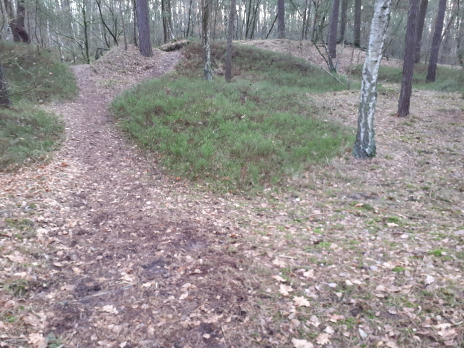
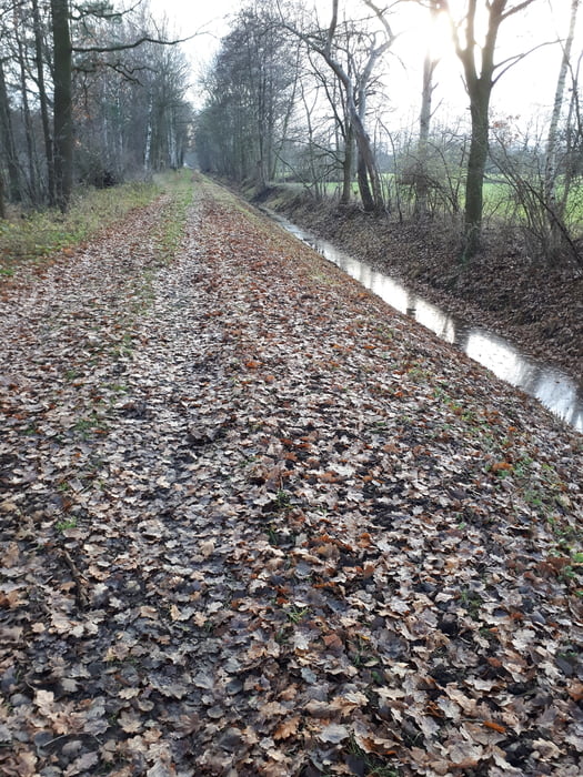
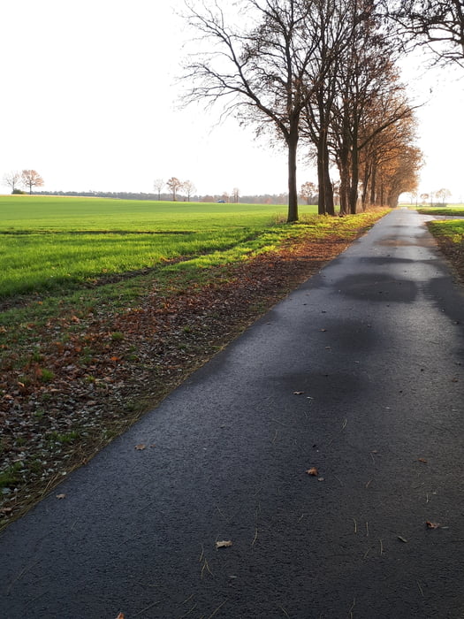
Die Strecke führt in der Hauptsache über Waldwege, bis auf die Verbindung von der Nienhagener zur Ehlershäuser Forst. Kurz nach dem Start gehts auf Single Trails die einiges Geschick fordern. Die Ehlershäuser Forst verlangt vor allem Kondition.
Galerie du tour
Carte du tour et altitude
Minimum height 39 m
Maximum height 64 m
Commentaires

Tracks GPS
Trackpoints-
GPX / Garmin Map Source (gpx) download
-
TCX / Garmin Training Center® (tcx) download
-
CRS / Garmin Training Center® (crs) download
-
Google Earth (kml) download
-
G7ToWin (g7t) download
-
TTQV (trk) download
-
Overlay (ovl) download
-
Fugawi (txt) download
-
Kompass (DAV) Track (tk) download
-
Feuille de tours (pdf) download
-
Original file of the author (gpx) download
Add to my favorites
Remove from my favorites
Edit tags
Open track
My score
Rate


