Login

Login oublié ?

Cookies have to be accepted!
Your browser's cookie functionality is disabled. Please enable this functionality.

Not a member yet?

Register now
Login

Available for registred users only

Log in to use this feature.

Login oublié ?

Cookies have to be accepted!
Your browser's cookie functionality is disabled. Please enable this functionality.

Not a member yet?

Register now
Filter
Catégories
Advanced filters
  • Longueur (km)
  • Altimètre
Enregistrer le filtre Reset filter

TrackRank

QRCode

Technical data

Longueur11,3 km Altimètre47 m Way down54 m Durée02:45 h:m Date15.12.2019
Evaluations Author Paysage Aspect amusement Condition Technique

Statistiques

333 Vues Evaluations 8 Téléchargements Moyenne
Rate
  • Feuille de tours
  • Arrivée
  • Téléchargements

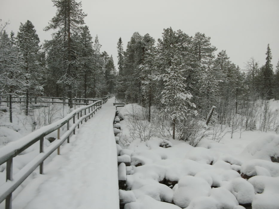
Im Winter sehr schöne Schneelandscaft mit Blick von den Brcken auf die Seen und Berge.

Mit Abstecher zur Langlaufloipe am Öberget.

Galerie du tour

Carte du tour et altitude

  • Open Street Map
  • Google
Minimum height 588 m Maximum height 626 m Vue de détail

More about the tour author

JPH
Member since 2012

Send private message

Commentaires

Startpunkt ist das Simloc Norbakka in Arjeplog, aber ander Punkte in Arjeplog wären auch möglich.

Tracks GPS

Trackpoints
  • GPX / Garmin Map Source (gpx) download
  • TCX / Garmin Training Center® (tcx) download
  • CRS / Garmin Training Center® (crs) download
  • Google Earth (kml) download
  • G7ToWin (g7t) download
  • TTQV (trk) download
  • Overlay (ovl) download
  • Fugawi (txt) download
  • Kompass (DAV) Track (tk) download
  • Feuille de tours (pdf) download
  • Original file of the author (gpx) download

More about the tour author

JPH
Member since 2012

Send private message
Share track
Add to my favorites
Remove from my favorites
Edit tags
My score
Rate
Tour: Rund um Arjeplog
Cat.: Randonnées
Longueur: 11,3 km
Evaluated on:
Durée:
Day(s)
Hour(s)
Minute(s)
Evaluation: Paysage Aspect amusement Condition Technique