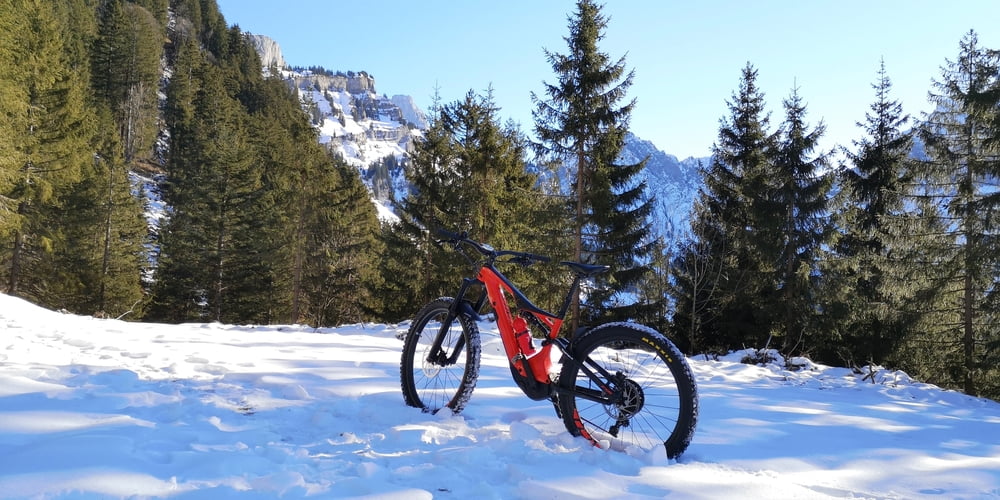
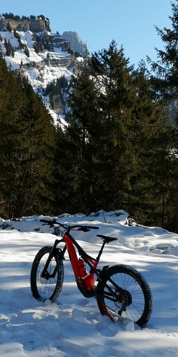
Über Mollis nach Beglingen hoch zur Nüenalp. Der Wanderweg runter ist mehrheitlich gut ausgebaut, teilweise mit groben Steinen aber alles fahrbar.... naja bis auf die Spitzkehren...
Galerie du tour
Carte du tour et altitude
Minimum height 424 m
Maximum height 1343 m
Commentaires
Auto oder Zug nach Näfels Mollis
Tracks GPS
Trackpoints-
GPX / Garmin Map Source (gpx) download
-
TCX / Garmin Training Center® (tcx) download
-
CRS / Garmin Training Center® (crs) download
-
Google Earth (kml) download
-
G7ToWin (g7t) download
-
TTQV (trk) download
-
Overlay (ovl) download
-
Fugawi (txt) download
-
Kompass (DAV) Track (tk) download
-
Feuille de tours (pdf) download
-
Original file of the author (gpx) download
Add to my favorites
Remove from my favorites
Edit tags
Open track
My score
Rate


Schneefrei