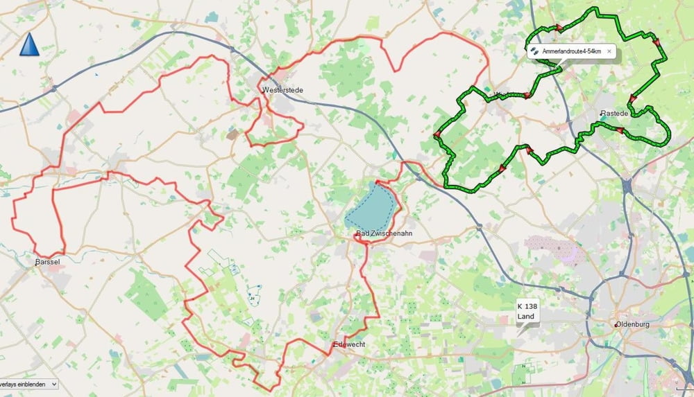
Für die jenigen dene die Ammelandroute zu groß ist (164Km ) habe Ich sie in vier Strecken aufgeteilt. (ca 60km). Dies ist der vierte Teil. Sie ist teilweise Beschildert. Eine schöne Tagestour für Jung und Alt. Die Strecke ist Barierefrei und für Jedermann geeignet. Die Route ist mit Route 3 kombinierbar.
Gute Fahrt
Galerie du tour
Carte du tour et altitude
Minimum height -3 m
Maximum height 36 m
Commentaires

Tracks GPS
Trackpoints-
GPX / Garmin Map Source (gpx) download
-
TCX / Garmin Training Center® (tcx) download
-
CRS / Garmin Training Center® (crs) download
-
Google Earth (kml) download
-
G7ToWin (g7t) download
-
TTQV (trk) download
-
Overlay (ovl) download
-
Fugawi (txt) download
-
Kompass (DAV) Track (tk) download
-
Feuille de tours (pdf) download
-
Original file of the author (gpx) download
Add to my favorites
Remove from my favorites
Edit tags
Open track
My score
Rate

